
Hiking Lofoten Islands alone
In July 2026 I spent six days hiking alone across the Lofoten Islands in Norway.
Watch it: Hiking 85 Miles Alone in the Lofoten Islands
In July 2026 I spent six days hiking alone across the Lofoten Islands in Norway. I got off the overnight ferry at Moskenes, walked about 85 miles with a tent, and finished at a bus stop on the E10 near Borg, on Vestvågøy. Along the way I took a boat across the Reinefjord, rode a lot of buses, slept in a hotel and two rented rooms, and sat out two days of storms.
This is not one marked trail. It's a chain of mountain paths, beaches, village roads, boats and buses. You can't walk the tunnels or the bridges, there are fewer places to resupply than you'd think, and everything costs a lot. It was a tough one for sure. It's also a special place, and a different kind of hike.
On the trail
I started from Moskenes Camping a little after 8 a.m. in sunshine. I climbed into the hills above Moskenes, came down to Sørvågen, and walked the road to Å, the village at the very end of the E10. In Å I got a cinnamon roll at the old bakery, and I spent most of the day in the mountains west of the village, above the lakes and the sea. The rain came in the afternoon. I had dinner at the Å Rorbuer restaurant: the catch of the day and a Hansa beer. I pitched my tent on a grassy, rocky stretch of coast outside the village.
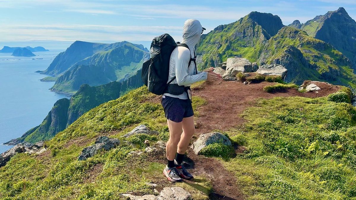
I left my camp near Å just after 7:30 a.m. and walked back through Sørvågen. On the climb I filled my water from a small stream. The path took me past the red Munkebu hut and its lakes, then down rocky ground with a ladder to Forsfjorden and along the shore to Vindstad. In Vindstad I had coffee and waffles at the café in the old school, then waited for the boat. The rain came after a very hard stretch, and that's when I realized parts of this trip were going to be miserable. The boat dropped me at Kjerkfjorden, and at about 6:15 p.m. I started the 2 miles over to the Horseid valley. I pitched my tent in the grass and ate a packaged meal.
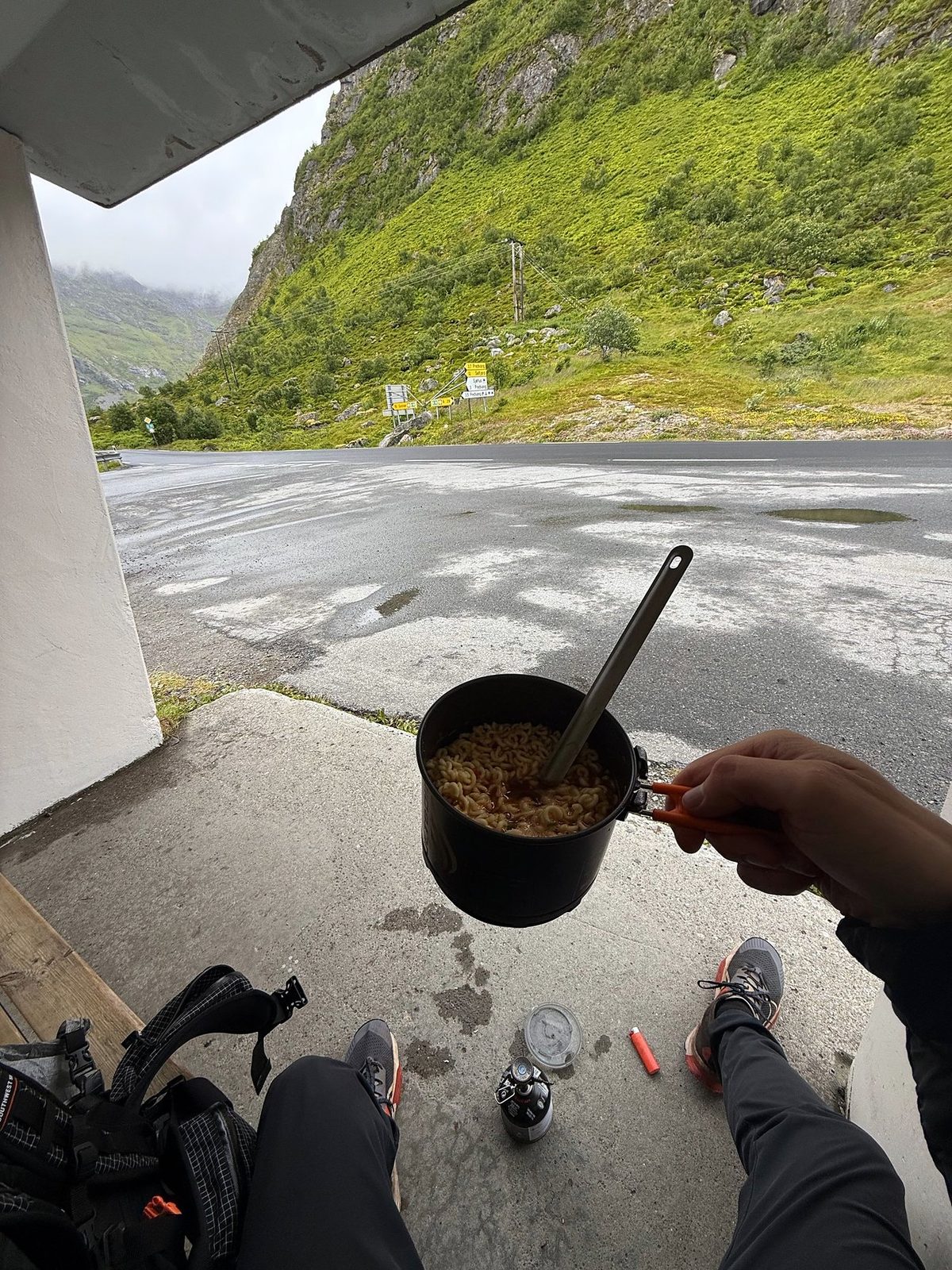
I started at 6:30 a.m. in fog. The climb out of the Horseid valley went over the pass at Fageråskaret, and the descent on the other side was wet and muddy, with thick vegetation and awkward footing. At Selfjorden I reached the road and walked the rest of the way to the Fredvang kryss bus stop on the E10. I got there at 12:40, sat in the bus shelter and cooked noodles on my stove while I waited. The bus took me to Leknes, where I booked a room at the Scandic, dried my shoes on paper and ate dinner in town.
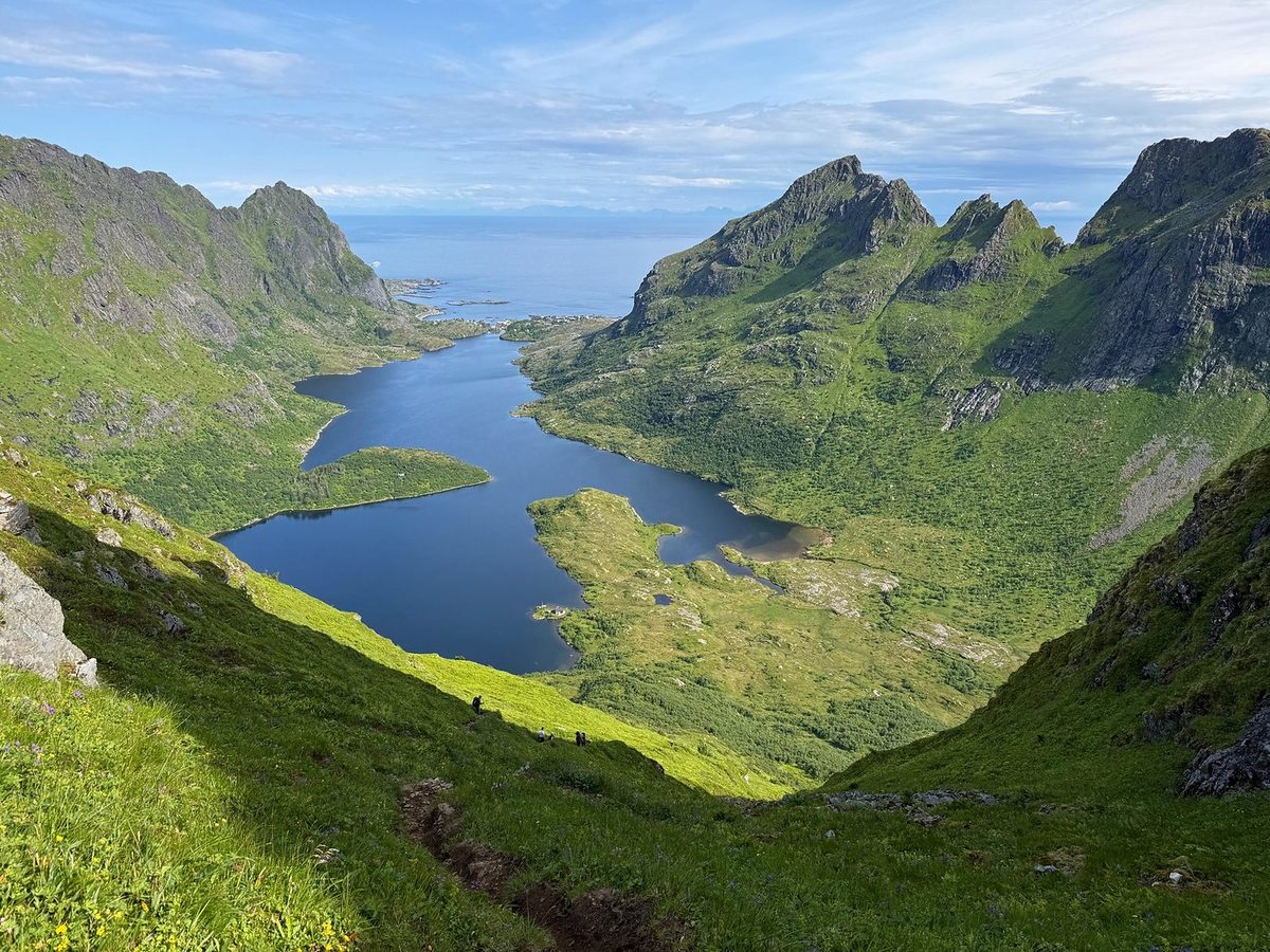
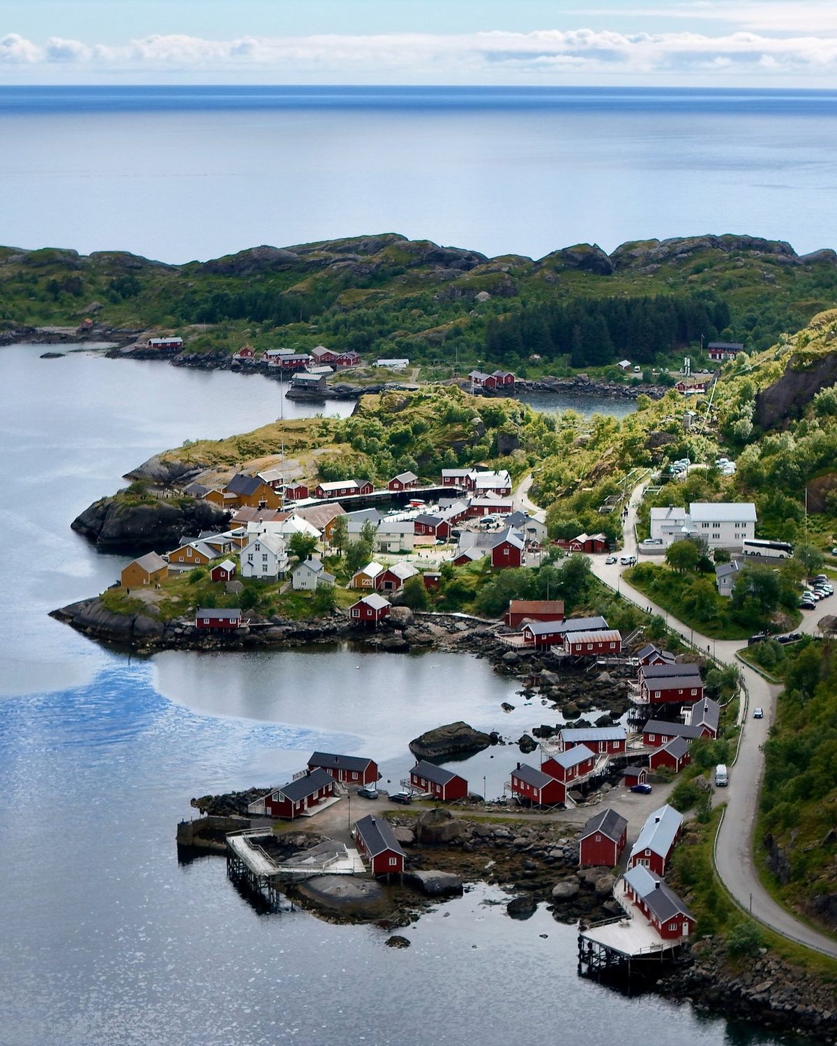
After breakfast at the Scandic I took line 742 toward Å and got off at Skjellfjord kryss. The first 6 miles were roads past Skjelfjord to Nesland, then a coast path with a ladder into Nusfjord. In Nusfjord I had lunch at Restaurant Karoline and a pastry from the bakery. After lunch I went north over the mountains toward Napp. Fog came in on the high section. I reached the Napp bus stop at 8:20 p.m., more than ten hours after I started, and took the bus back to Leknes. This was my longest day.
I set off again on July 11 once I had some clear skies. I walked from Gravdal into Leknes for a coffee, then along the roads past Storeidmyra and Hol before climbing into the hills. For part of the climb I walked with another hiker. At Gammen, the turf hut, a wood stove was burning and people were inside. I kept going over Langfreddalsskaret and across the high, grassy hill country toward Lauvdalen. I camped next to an open-front wooden shelter with a table and benches, and cooked dinner at the table.
It seemed my Lofoten thru-hike was coming to an end, not with a bang but with a whimper: terrible storms and low morale. I packed up, walked down through the vegetation to the valley road, and got off the trail at the E10, the main road through Lofoten, where the buses are easy. After about an hour of road walking I had about a two-hour wait for the bus to Svolvær. In Svolvær I had coffee at Deja Brew and a pizza, bought a REAL Turmat freeze-dried meal at the Hike And Chill shop, and slept in a camper van.
What I took from it
Not an official one. People link paths, beaches and roads across the islands, and so did I. You can't walk the tunnels or the bridges, so some sections need a bus. My plan was to go south to north from Å toward Svolvær, with buses where needed. I finished near Borg instead, after two storm days and low morale.
I walked 6 days and took 2 rest days, 8 days from the ferry to the last bus. Days 4 and 5 were about 20 miles each. At a normal pace, plan 8 walking days for the same line, plus a spare day or two for weather. There's a day-by-day plan in A slower version.
The route day by day, with maps and my GPX files, is in my free guide: Lofoten Islands on Follow the Hiker.