
Hiking Big Bend alone
In April 2021 I hiked alone through the High Chisos, the mountains in the middle of Big Bend National Park in West Texas.
Watch it: Hiking 20 Miles Alone in Big Bend National Park
In April 2021 I hiked alone through the High Chisos, the mountains in the middle of Big Bend National Park in West Texas. I started in the Chisos Basin, climbed the Pinnacles Trail to Emory Peak, the highest point in the park, camped in Boot Canyon, and walked out along the South Rim the next morning, with the desert and Mexico spread out below, then down the Laguna Meadows Trail to the Basin. About 27.1 miles over two days by my GPS, but that includes a walk back down to the Basin for lunch on Day 1: the loop itself is about 17.
It was my first time in the park, and this is the hike to do if you want to see as much of it as possible in a day or two. I could easily have done the whole loop in one day. I wanted the night out and the light.
On the trail
I started up from the Basin at 8:19 a.m. The Pinnacles Trail climbs steadily, switchback after switchback, toward the cliffs at the top of the Basin. Clouds were hanging over the peaks that morning. At the top of the climb, Pinnacle Pass, the Emory Peak Trail branches off. I went all the way up to Emory Peak, the highest point in the park. It was very easy compared to what I'm used to. Most people can do it, and the scramble at the top was barely a scramble. I was on the summit at 10:46 a.m. and stayed about 20 minutes.
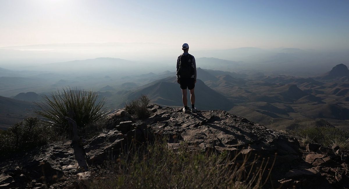
I left camp at 7:48 a.m. The highlight of the hike was definitely coming up on the South Rim that morning, with a nice, expansive view down toward Mexico. You can't really see the river, but the river's out there. Then, to wrap up the loop, I just sped all the way downhill most of the time, back to the visitor center area. I was back in the Basin at 11:19 a.m.
What I took from it
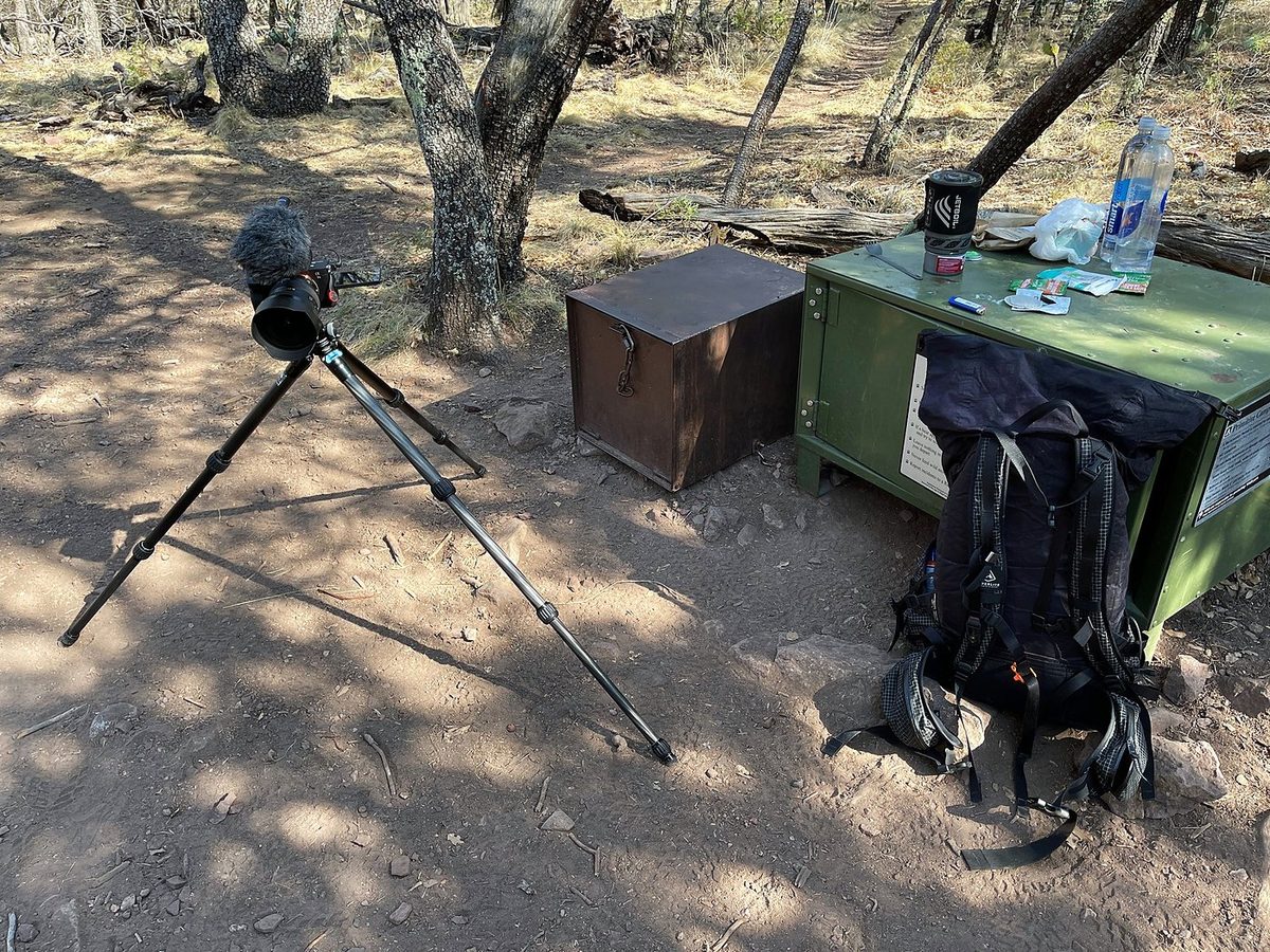
Not hard, by mountain standards. It's steady climbing on good, well-built trails, about 1,500 ft up the Pinnacles Trail from the Basin to Pinnacle Pass by my GPS. Emory Peak was very easy compared to what I'm used to, and the scramble at the top was barely a scramble. Most people can do it. I could easily have done the whole loop in one day with much less gear.
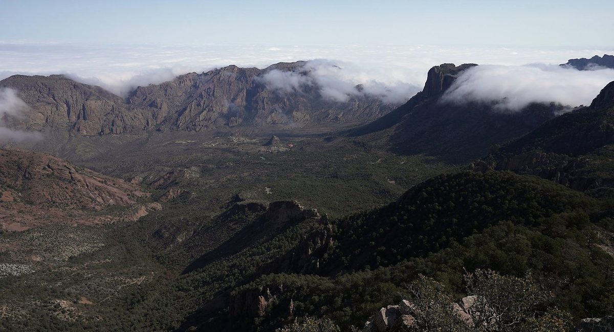
The loop from the Basin, up the Pinnacles Trail, to Emory Peak, Boot Canyon and the South Rim, and down the Laguna Meadows Trail, is about 17 miles by my GPS: 8.2 to my camp in Boot Canyon with the Emory Peak side trip, and 8.8 out the next morning. My film title says 20 miles; my Day 1 recording says 18.3, because I went back down to the Basin for lunch and climbed up again.
The route day by day, with maps and my GPX files, is in my free guide: Big Bend on Follow the Hiker.