
Hiking Hornstrandir alone
In July 2019 I spent four days backpacking alone across the Hornstrandir Nature Reserve, the remote northwest corner of Iceland's Westfjords.
Watch it: Hiking 60 miles Alone in Iceland
In July 2019 I spent four days backpacking alone across the Hornstrandir Nature Reserve, the remote northwest corner of Iceland's Westfjords. A boat dropped me at Hesteyri, I walked about 60 miles with a tent over passes and along empty beaches to Hornvík and the Hornbjarg cliffs, and another boat picked me up in Veiðileysufjörður. There are no roads, no shops and almost no phone signal in the reserve.
The film of this trip, "Hiking 60 miles Alone in Iceland," is the one that kind of launched my career as a solo hiking filmmaker. It's a magical place that I didn't know about until I researched it a week or two before the trip. I never did a guide with that video, and this trip deserves one.
On the trail
The boat ride was white-out fog almost the whole way, and I couldn't see anything. As we landed at Hesteyri it cleared up: blue sky, wildflowers everywhere. There was a crêpe and coffee place right there, in a house run by a single person. I walked south along the fjord, crossed a river on the stones, and climbed over the heath to Aðalvík, past the old houses at Staður. It was bright and sunny, and I had no cap, no sun hoodie and no sunscreen. I regretted that. This was also the first time I'd used a water filter, a Sawyer Squeeze, and I remember thinking for the first time that I couldn't filter the ocean, because it's salt.
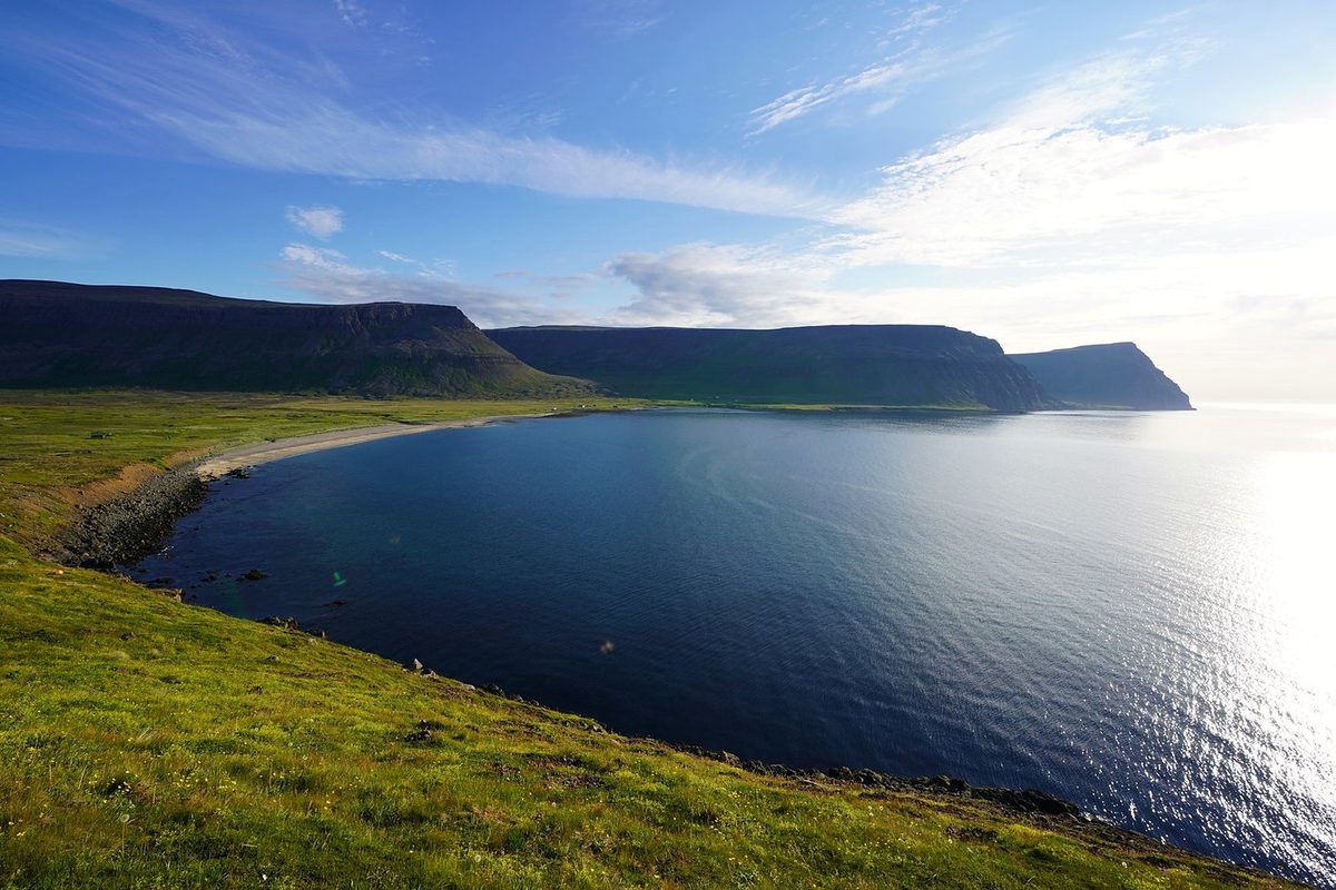
I started by wading across the river mouth before Látrar barefoot, with my shoes in my hand, then walked past Látrar and climbed onto the plateau over snow patches. On the way up I stripped down for a dip in a small pond. It was nice. It was cold. That's the "swimming pool" shot in the film. Then I came down Tungudalur to Fljótavík. At the end of the day my GPS shows me walking out to where Fljótavatn drains into the sea: I saw an option to cross there, but with the tide it was all filled with water and it just wasn't possible. I turned back and camped, because I'd had a rough day.
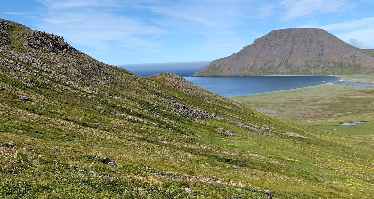
The flies found me as soon as I started. I went around the south end of Fljótavatn and climbed over the passes to the coast, then walked a beach piled with driftwood, cooked lunch on the beach, passed the orange emergency hut at Hlöðuvík and waded the river there. After the climb to Atlaskarð, the last stretch before Hornvík goes past a sea stack and down a steep, rocky gully on a fixed rope. I finally reached Hornvík, the main campsite, where most of the people were that I got to hang out with and talk to. I pitched my tent and ate.
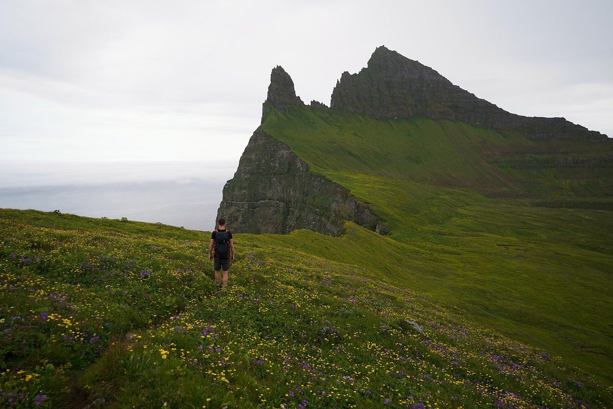
This was the part I was most excited about, the climax of the hike. I had a tight window before my boat, so I went up to Hornbjarg in the morning and left my tent at Hornvík. The weather was okay, but storm clouds were starting to come in, so I was a bit rushed. There were birds everywhere, the cliff was amazing, and the grass was so bright green. The sun came out in little bits and pieces, and I had the whole time up at the Horn to myself. I didn't see a single person. This was definitely the best part of the experience.
What I took from it
I walked it in four days and three nights, and I hiked faster than most people I saw. It's a three or four day trip at my pace, but you're the only person who can answer this, because you know how many miles you can do. This hike is a little harder than usual, so if you usually do 15 miles a day, plan on 10. That makes my line about six days. There's a plan in A slower version.
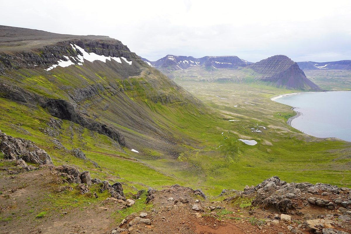
No trees, so the views are open, but it can be swampy, muddy and marshy, and there's a surprising amount of elevation gain for a walk that spends so much time on beaches. Day 3 crosses three passes, and Day 4 climbs onto Hornbjarg and then over Hafnarskarð. There are river crossings, snow patches on the passes, and two short spots with a fixed rope. The trail was much wetter than I showed in the video; my boots and socks were soaked most days.
The route day by day, with maps and my GPX files, is in my free guide: Hornstrandir on Follow the Hiker.