
Hiking San Juan Mountains
In June 2020 my younger brother Kurtis and I climbed Uncompahgre and Handies, and climbed toward Wetterhorn, in the San Juan Mountains above Lake City, Colorado.
Watch it: Hiking 35 miles in Colorado's San Juan Mountains
In June 2020 my younger brother Kurtis and I climbed Uncompahgre and Handies, and climbed toward Wetterhorn, in the San Juan Mountains above Lake City, Colorado. We parked at Capitol City on Henson Creek Road, walked up the North Fork in the evening to a snowy camp below Matterhorn Peak, climbed Uncompahgre Peak the next day, climbed toward Wetterhorn Peak the morning after, hiked out to the car, and that same evening drove around to the Cinnamon Pass road and climbed Handies Peak, coming down by headlamp. About 32.7 miles (52.7 km) and 10,650 ft of climbing in three days by my GPS.
It was early June in a snowy year. There was snow from our first camp up, I carried an ice axe, and we filtered our water from snowmelt streams.
On the trail
We left the car at Capitol City at 5:31 p.m. and walked up the dirt road through the aspens with full packs. Kurtis and I carry almost the same gear. I carried two beers. We passed the Matterhorn Creek trailhead sign at dusk and filtered water from a stream running through the snow. Above it the snow got deep. We found a spot in the trees and pitched our tents in the snow, hammering a stake in with a rock. We reached camp at 7:53 p.m., ate on a log, and I sorted my gear in the tent by headlamp.
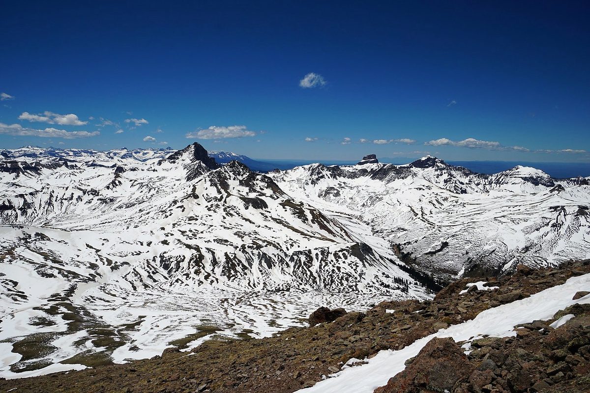
We had breakfast at the snowy camp and left at 9:28 a.m. The way east to Uncompahgre crossed snowfields and a wide, high plateau. I carried my ice axe. We put on sunscreen at a wooden trail sign and filtered water from a stream on the plateau. Higher up we walked a grassy ridge with patches of snow, then scrambled up the loose rock below the summit. We reached the top together at about 2:10 p.m., 5.9 miles from camp. The summit ridge is narrow, with big drops off its edge.
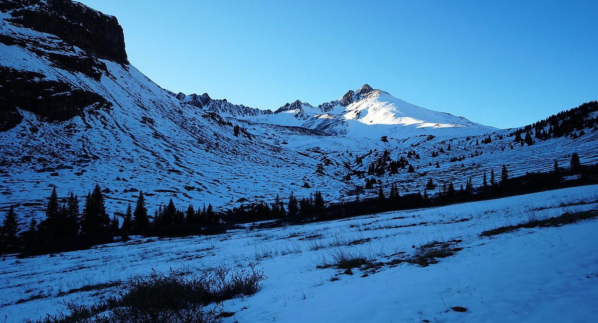
I left camp at 8:53 a.m. for Wetterhorn. The trail was mud and snowmelt low down, then deep snow. A marmot watched me eat a snack from a few feet away, and I told it to get out of here. Higher up there's a steep snow slope and then a rock gully, "sketchy snow," as I put it in the film. My GPS recording tops out at 13,460 ft, 2.5 miles from camp, about 550 ft below the summit. It stops there for about 15 minutes and then turns back toward camp. So the GPX file doesn't show the last part of the climb. The route description below is from current route descriptions, not my track. On the way down I slid down a snow slope on my backside, and I was back at camp at 11:48 a.m.
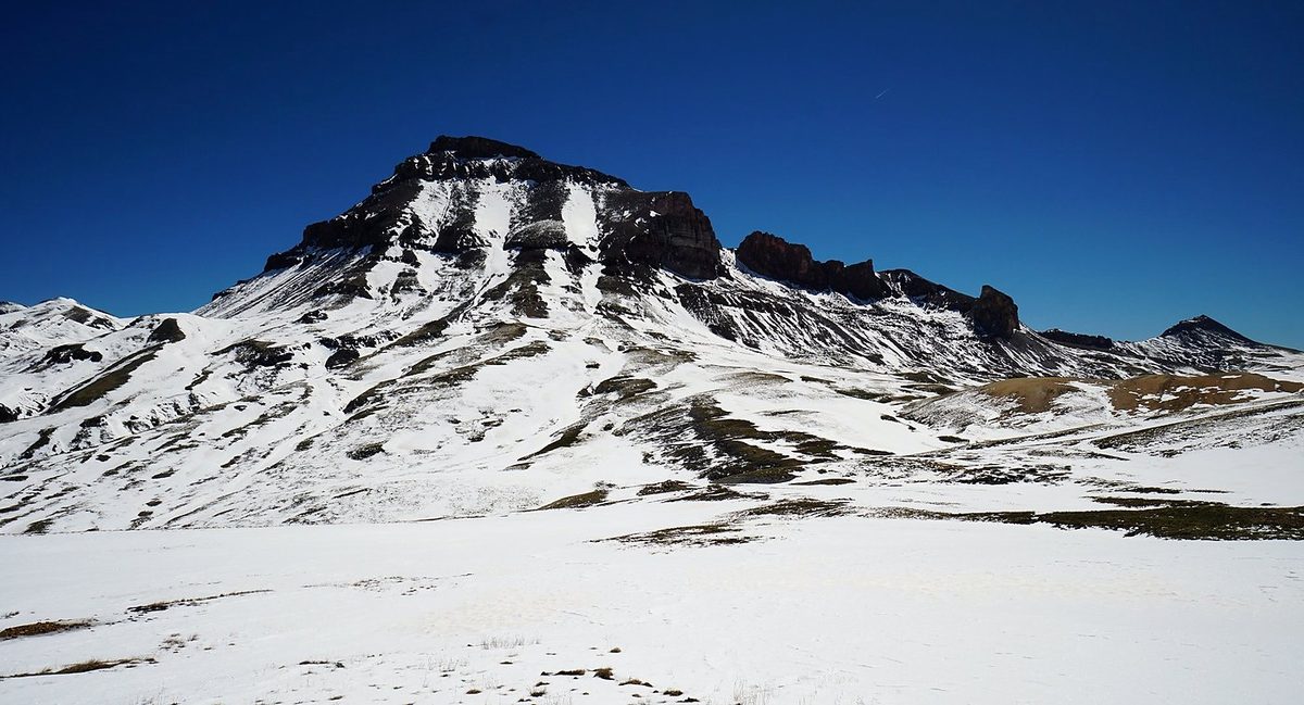
After the hike out we stopped at a restaurant for a beer. "Cheers, brother." Then we drove around to the Cinnamon Pass road and started up Handies at 4:57 p.m. The trail climbed a grassy valley beside a stream, past snow patches, to a short rocky section and a narrow ridge. We were on the summit at about 7:30 p.m., in warm evening light, and put our jackets on in the wind. We came down at sunset and walked the last stretch in the dark by headlamp, back at the car at 9:34 p.m.
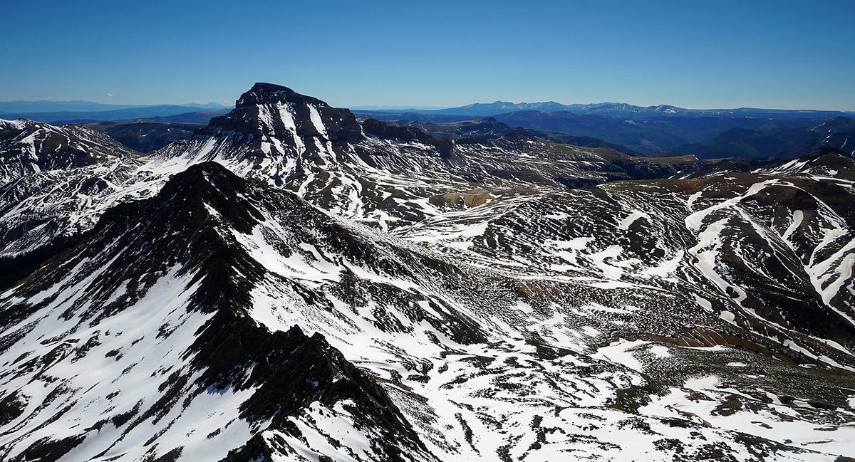
The route day by day, with maps and my GPX files, is in my free guide: San Juan Mountains on Follow the Hiker.