
Hiking Choquequirao and Ausangate alone
In May 2019 I flew to Peru with one goal: to hike to Choquequirao and make a film about it.
Watch it: Hiking Alone in Peru
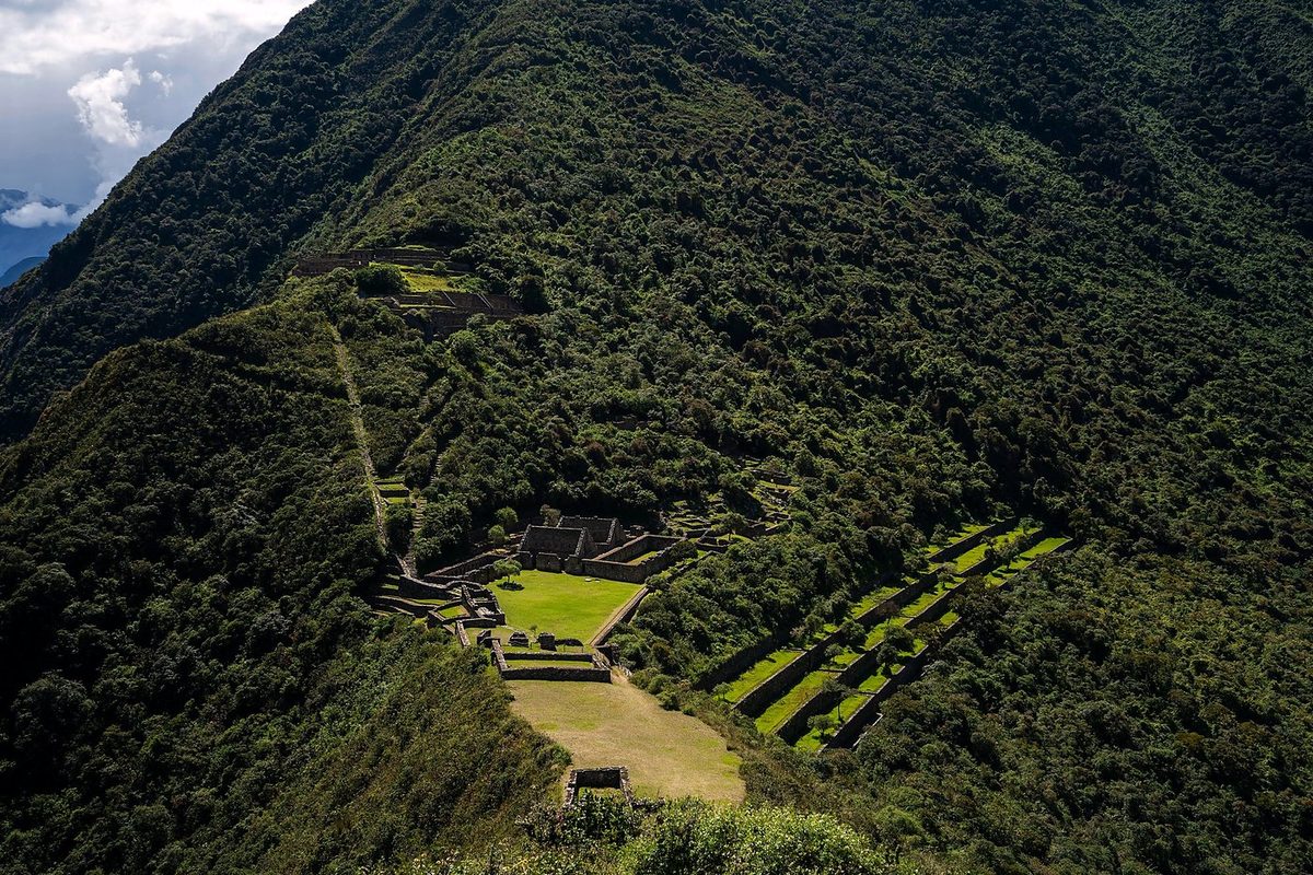
In May 2019 I flew to Peru with one goal: to hike to Choquequirao and make a film about it. Choquequirao is an Inca site high on a ridge above the Apurímac canyon, often called the sister city of Machu Picchu. There's no road to it. You walk down one side of the canyon, cross the river and climb the other side, then come back the same way. I did it alone in three days, from the Capuliyoc trailhead above the village of Cachora, about 30 miles with a tent.
Why not Machu Picchu? Machu Picchu has been done. This is kind of the new Machu Picchu, and that's why I did it. I saw maybe 20 or 25 people on the whole three-day hike, and the ruins were basically empty, which was amazing compared to my experiences at Machu Picchu.
On the trail
This was the start of my Choquequirao trek. When I signed in at the booth, I saw that there were only four other people who'd left that morning. Not many people on this trail, which is a good thing. It was all downhill to the river, and I was already sweating. I couldn't imagine what it would be like to go up it. It's pretty, though. From high above you can see the bridge way down there, where you cross the Apurímac.
This one is all uphill for a long time. I went really slow while I had the nice cool morning air and shade from the clouds, all the way up to the village. When I saw buildings and a campsite I knew I was getting close to the top, and that was quick. The village is Marampata: an adorable mountainside village with plenty of places to rest and farm animals to say hello to. I started to think it would probably be the best campsite.
Good morning: the cat was back in my tent. I started the climb planning to take it very slow. The rest of the day was going to be me complaining a ton, and I knew it. I heard running water on the way up. Near the top I could see the end up there, but I took a break in the shade first. I was out of water, 100% out of water. The dog I'd seen on the way down was still lying there when I got back. I reached the Capuliyoc trailhead just after 1 p.m. and went back down to Cachora for the night.
What I took from it
Three or four days is what's usually recommended for the whole out and back, and I did it in two and a half. Unless you're fast and used to big climbs, plan four days on the trail, and five if you want a slow morning at the ruins.
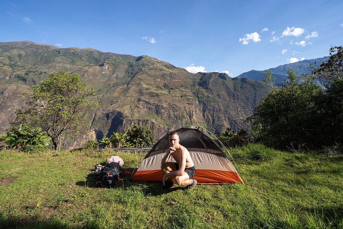
It's a steep mule trail, easy to follow, but the climbs are brutal. You drop about 1,430 m (4,700 ft) from Capuliyoc to the river, climb about 1,580 m (5,180 ft) from the river to the ruins, and then do both again in reverse. My Day 2, when I went up to the ruins and all the way back down to the river, was one of the toughest things I've ever done. I don't recommend anyone do that.
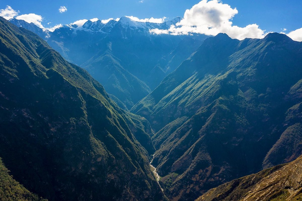
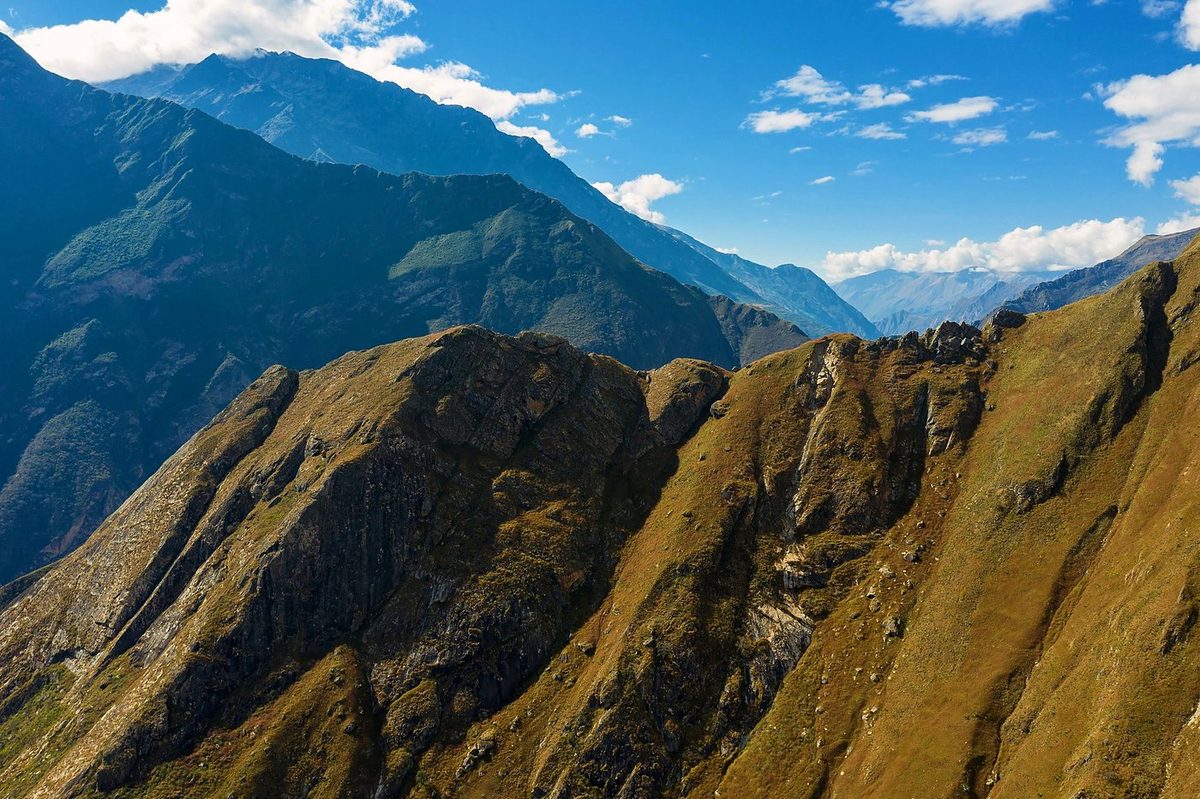
The route day by day, with maps and my GPX files, is in my free guide: Choquequirao and Ausangate on Follow the Hiker.