
Hiking Enchanted Valley, my first group trip
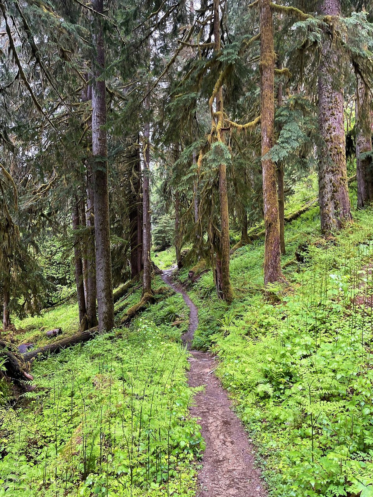
In June 2022 I spent five days backpacking into the Enchanted Valley in Olympic National Park, Washington: up the East Fork Quinault River from Graves Creek through old-growth temperate.
Watch it: Hiking 50 Miles Through Washington’s Enchanted Valley
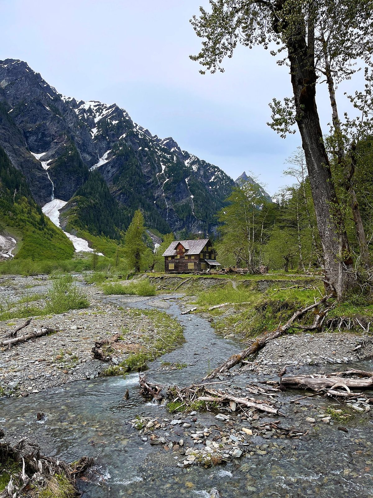
In June 2022 I spent five days backpacking into the Enchanted Valley in Olympic National Park, Washington: up the East Fork Quinault River from Graves Creek through old-growth temperate rainforest, into the valley under the snowy peaks and the old chalet, up to Anderson Pass in the snow, and back out the same way.
This wasn't a solo hike. It was a guided group trip: my first subscriber group backpacking trip, booked through TrovaTrip, with nine subscribers, me, and two guides from Wildland Trekking, twelve of us in all. The guides took care of the logistics, the tents, the gear and the food, and I got to hike, shoot the video and hang out around the campfire. So this guide gives you my GPS files, maps, photos and notes for every day, and plain, checked facts for everything the company handled for us: the permit, the road in, the food storage rules and the river crossings.
On the trail
We packed and divided our gear at the trailhead, did some final checks, handed out the bear cans last, and were ready to go. The weather looked good, and as long as it wasn't raining I feel like everyone was pretty happy and excited to hit the trail.
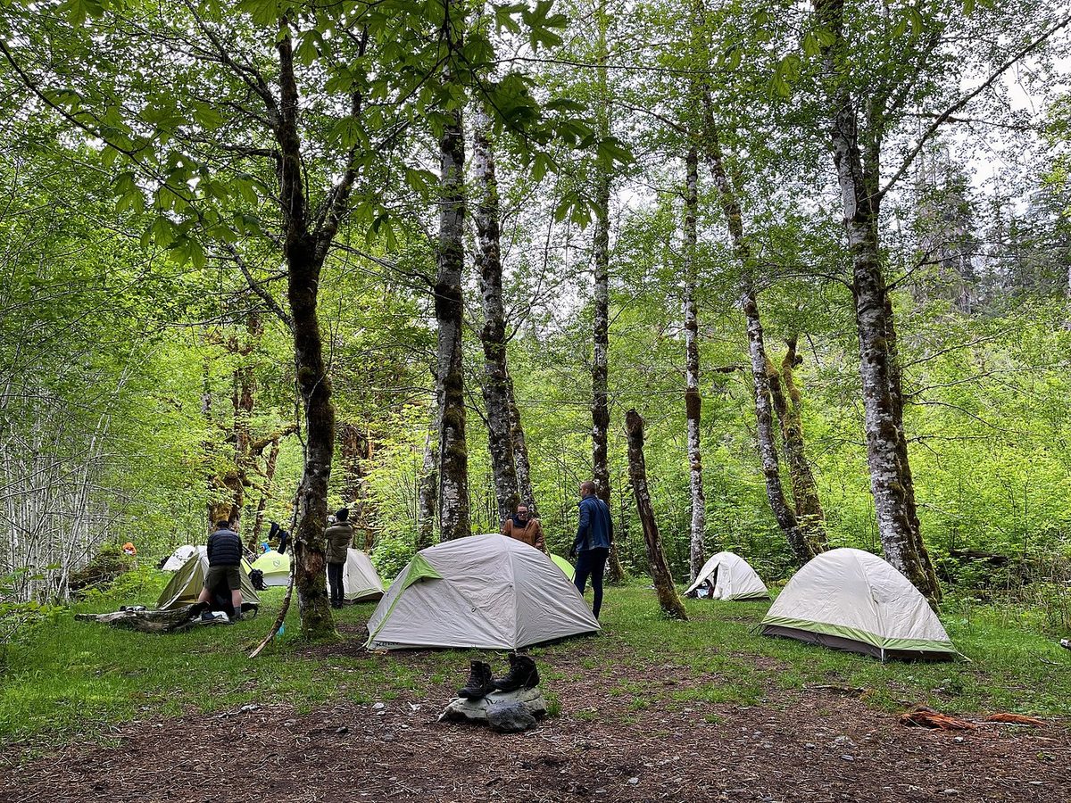
Day 2 continued up the valley. I mapped just over 10 miles and just over a thousand feet of elevation gain, and I doubted that was correct: it seemed like too much. My GPS line says 7.7 miles and about 1,050 ft. We packed up our tents, headed out, and this is when we saw our first bears. There was a bear on the trail ahead of us, a really slow hiker. He was chill, we were chill; he was a little chunky and a little slow, and he held up the whole caravan behind him, looking back over his shoulder like, hurry up, what are you doing.
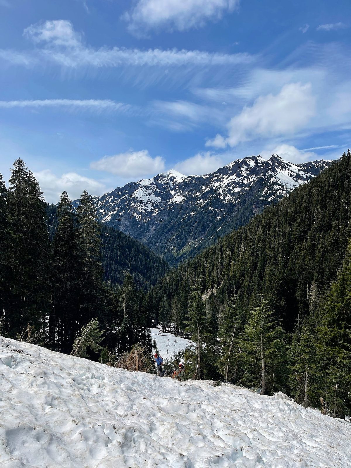
The third day was what it was all about: getting up into some altitude and into the snow, starting to see views, and trying to get to this pass. There's a lake up there, and you can see the glacier higher up if you make it up the switchbacks. But we quickly came to realize that it was more difficult to go up with the snow, and it was a lot more elevation gain.
The bears were waiting for us. When I woke up and opened my tent, people were like, you know there's a bear behind you, right? They were hanging around that whole area, and we were careful not to leave any food out and to do the whole bear can thing. The last two days were the escape. It started raining that night, and Day 4 was a whole day of rain. We had breakfast under the trees with tarps to stay dry, then reluctantly set off in the rain, the entire way down, just under 8 miles back to O'Neil Creek, the first camp we stayed at. My GPS says 7.0.
We woke up and it was sunny and beautiful. We were so happy not to have rain. We dried things off as much as we could, and I think we had eggs and hash browns, which will brighten anyone's day. Then we made our way down, about 8.5 miles by my count in the film (7 on my GPS line), down, down, down, with the little hump again near the end. We made it. It was very nice to complete this thing. Five days is a lot to be out there.
What I took from it
We took five, at a group's pace: about 7 miles a day, plus a day hike to Anderson Pass. On my own I'd have gone faster.
Update, November 2026. The Park Service says the South Shore Road has reopened and the temporary bridge between the North Shore and South Shore roads has been removed for the winter. Until it goes back in, reach Graves Creek by the South Shore Road, not the North Shore Road. The roads above are how I got there in 2026.
The route day by day, with maps and my GPX files, is in my free guide: Enchanted Valley, my first group trip on Follow the Hiker.