
Hiking Humphreys Peak, the highest peak in Arizona
A November 2020 day hike up Arizona's highest mountain from Flagstaff, followed by an evening at a remote forest yurt and a field test of the Lumix S5.
Watch it: Hiking the Highest Peak in Arizona
In November 2020 I hiked Humphreys Peak, the highest peak in Arizona, with my brother, starting before dawn out of Flagstaff. We drove up to the trailhead in the dark and set off under the moon and dawn sky past the ski lifts and onto the rocky trail climbing up the mountain.
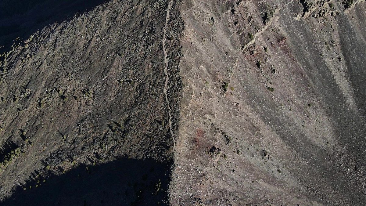
Up the mountain and back to the yurt
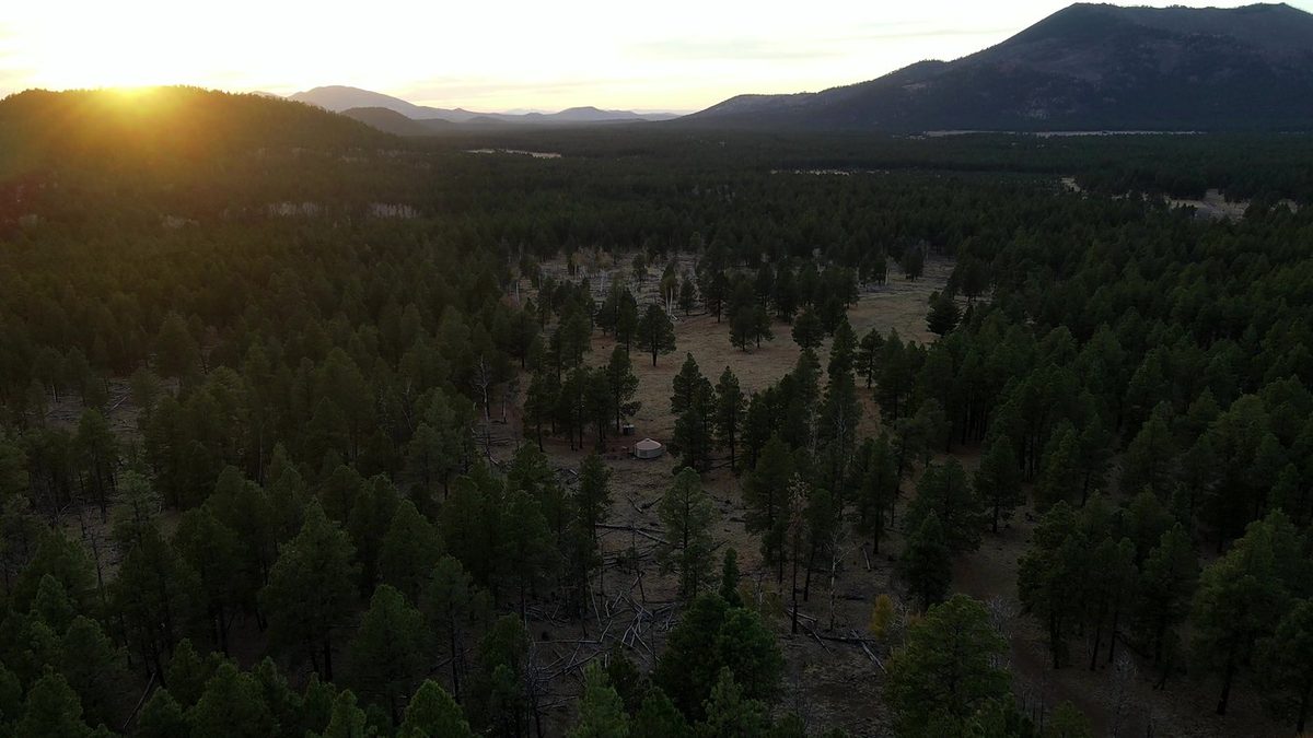
The climb took about six hours round trip, covering roughly 11 miles and 3,000 feet of elevation gain to wide views across the surrounding ranges from the summit. Afterward we spent time at a remote yurt in the pine forest at sunset.
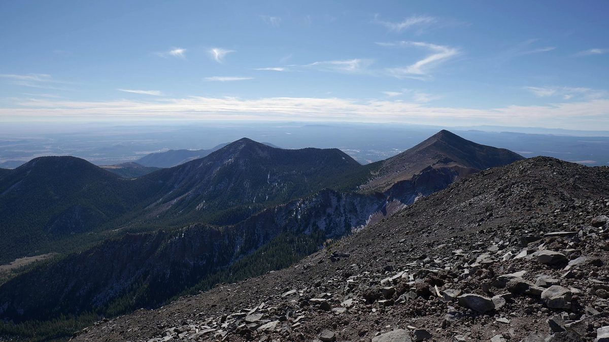
I also used this trip as a field test for the Panasonic Lumix S5. In the second half of the film I walk through how the lens range, screen, charging, stabilization and color settings held up on the trail.
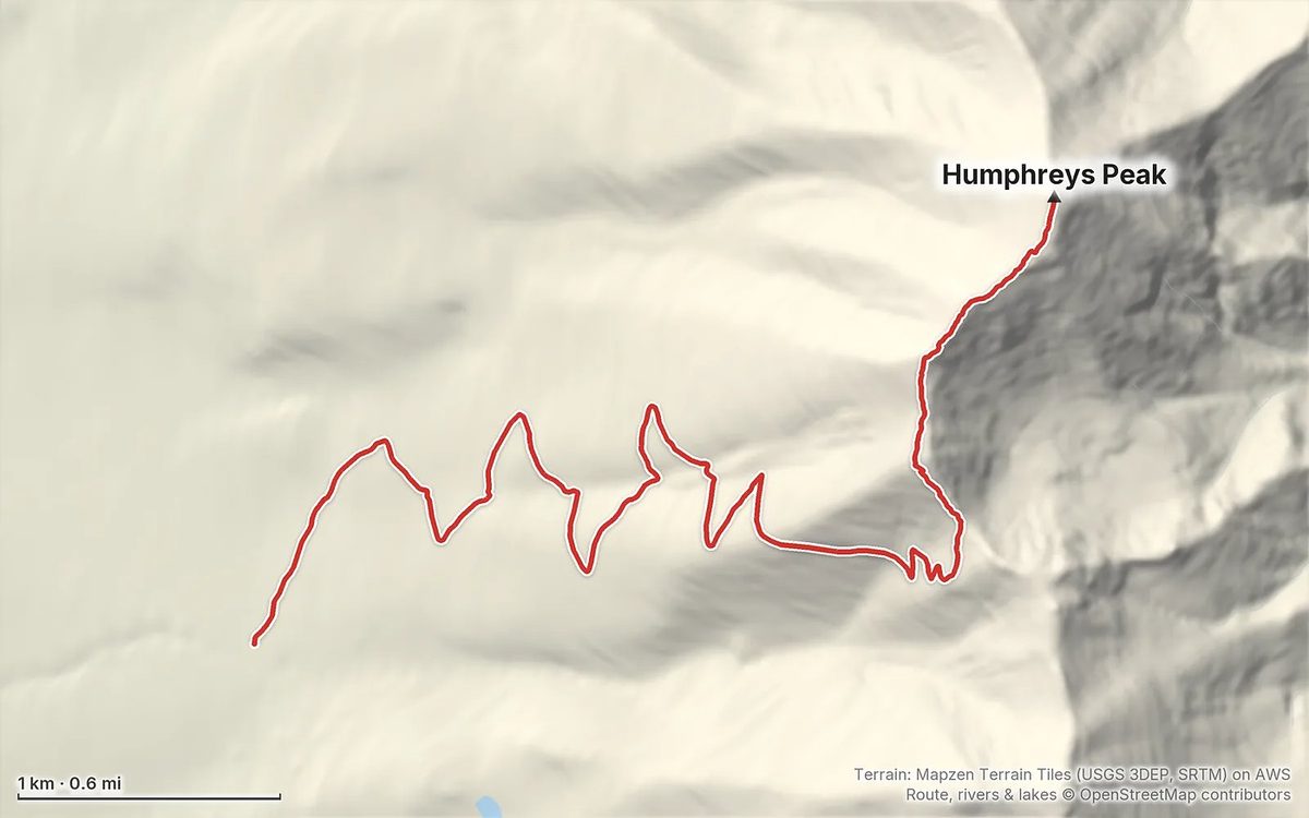
The overview and map for the hike are on Follow the Hiker: Humphreys Peak.