
Hiking Mexico City and Iztaccíhuatl
In March 2023 my wife and I spent a few days in Mexico City. When she flew home, I rented a little white car, drove out to the volcanoes and hiked up Iztaccíhuatl on my own.
Watch it: 5 Days in Mexico City - Roma Norte, Frida Kahlo Museum and Hiking Iztaccihuatl
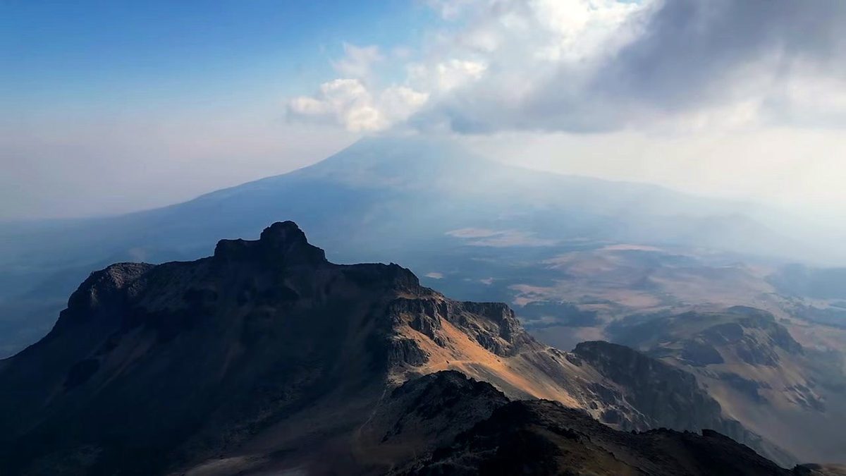
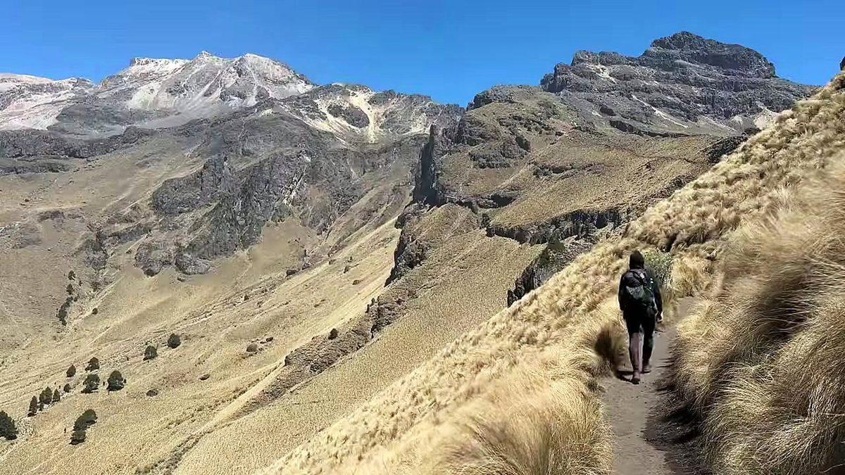
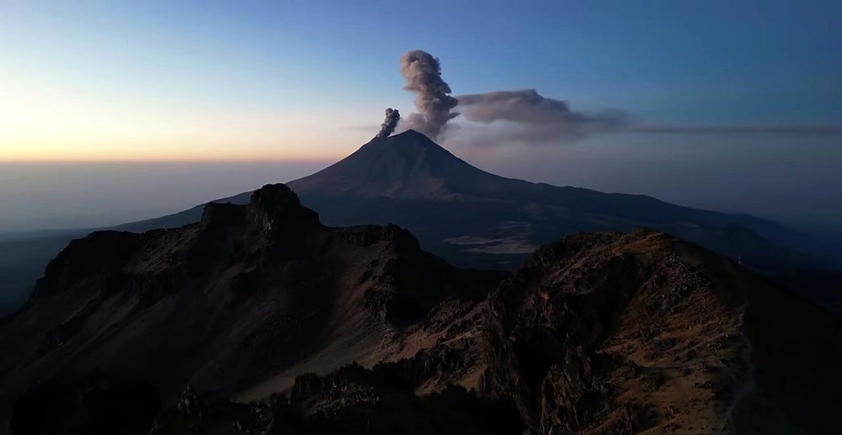
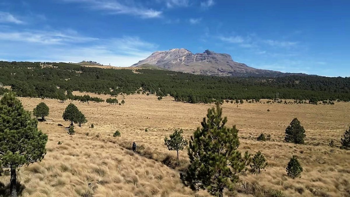
In March 2023 my wife and I spent a few days in Mexico City. When she flew home, I rented a little white car, drove out to the volcanoes and hiked up Iztaccíhuatl on my own. I started at Paso de Cortés, the pass between Iztaccíhuatl and Popocatépetl, walked about seven miles up to a small metal hut on the ridge with Popocatépetl erupting behind me, and spent the night there with a stray dog. The next morning I climbed by headlamp to the First Knee, about 16,500 ft (5,030 m) by my GPS, and turned around. It wasn't a true summit, but I'm still glad I did it. Two days, 14.4 miles by my GPS.
This is not a summit guide. I turned back at the First Knee, about a mile short of the summit (El Pecho) as the crow flies, because I was nearly out of water and food, the wind was strong and the altitude was giving me constant headaches. Everything up to that point is my own trip, with my GPS. Beyond it, the guide only tells you what the official sources and the people who run trips there say: see To the summit.
On the trail
At the park office at Paso de Cortés I paid a very small cost to get a bracelet permit, and drank as much water as I could at the car. It was a dry volcano hike with no water sources: I would have to carry all of the water for the entire hike, so I brought just about two liters. I started recording at 10:33 a.m. by the trail signs at Paso de Cortés. The first miles cross open grassland with scattered pines, with Iztaccíhuatl ahead and Popocatépetl erupting behind me. The trailhead at La Joya had a few cars and people, and the Mexican Army had trucks and tents in the parking area, but I didn't really pass many other hikers. I was definitely very alone on this hike.
I left the hut early, because it's just too cold up that high to justify summiting before the sun breaks the horizon; my GPS starts at 6:25 a.m. I was almost out of water and food, so I wanted to reach some sort of goal before turning back and escaping down the mountain. The visibility was fantastic. Other Mexican peaks, including Orizaba, the highest peak in Mexico, broke through the low clouds on the horizon as Popocatépetl erupted softly at my back.
What I took from it
No. I turned around at the First Knee, about 16,500 ft by my GPS, the first of the bumps along Iztaccíhuatl's long ridge. The summit is about a mile farther along the ridge as the crow flies, and about 650 ft higher. I was out of water and food, the wind was strong and the altitude was giving me constant headaches. So this wasn't a true summit, but I'm still glad I did it.
Two, with one night in the Grupo de los Cien hut, like me: up to the hut the first day, then the ridge early the next morning and down. Many people drive to La Joya and go to the hut and back in one day, which saves 4.6 miles each way. Add a day or two in Mexico City first for the altitude, and a spare day in case the park closes.
The route day by day, with maps and my GPX files, is in my free guide: Mexico City and Iztaccíhuatl on Follow the Hiker.