
Hiking Kesugi Ridge alone
In early June 2020 I hiked the Kesugi Ridge Trail alone in Denali State Park, Alaska.
Watch it: Hiking the Kesugi Ridge Trail in Alaska
In early June 2020 I hiked the Kesugi Ridge Trail alone in Denali State Park, Alaska. I started at the Little Coal Creek Trailhead on the Parks Highway in the evening, climbed onto the ridge and pitched my tent on the open tundra. The next day I walked the whole ridge south and west and came down to Byers Lake just after midnight. About 32.8 miles (52.7 km) and 5,450 ft (1,660 m) of climbing in two days by my GPS.
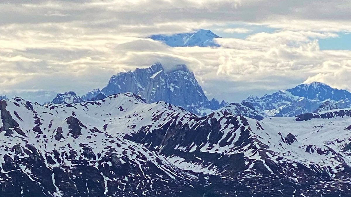
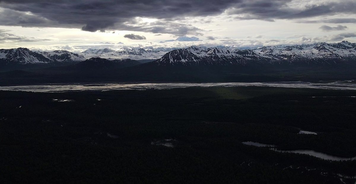
It was before the season. There was deep snow on the ridge, some trees were down across the trail, and I didn't see anyone else. In the film I say it was "definitely way before the normal hiking season." Every now and then the clouds opened and Denali showed above the Alaska Range.
On the trail
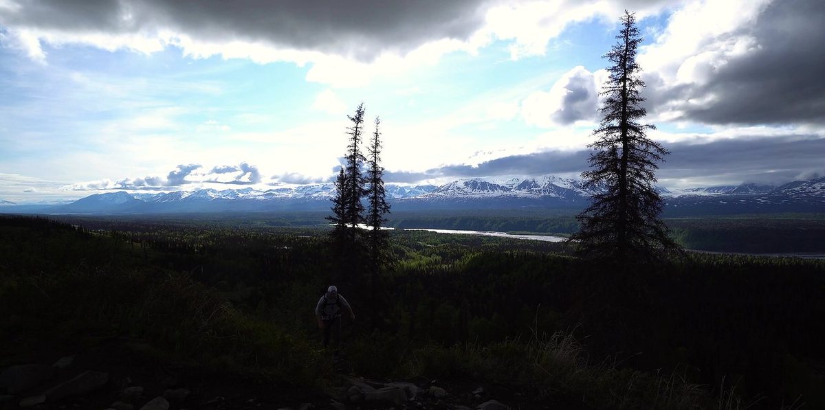
I packed at my car at the Little Coal Creek Trailhead on Monday, June 1, 2020, used the restroom and filled in the envelope at the cost station. I started walking at 6:43 p.m. The trail climbs through brush and trees, then out onto open slopes with the Alaska Range across the valley. By my GPS I climbed from 1,360 ft to about 3,460 ft in the first 4.5 miles.
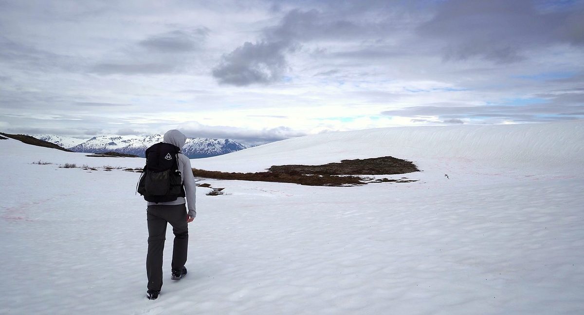
I had coffee and breakfast in my tent, packed up and left camp at 8:54 a.m. on Tuesday, June 2. The first hours were the snowiest of the trip: long snowfields of deep, soft snow. I filled my water bottle from a stream running through the snow, passed cairns on the rocky stretches and stopped on a rock to eat an orange. I reached my high point of the day, 3,366 ft, at 11:17 a.m., 4.5 miles from camp.
What I took from it
In my film I say it's "a pretty easy hike for beginners." The walking itself is mostly open tundra and rock, with cairns where the trail is faint. But my second day was 26 miles and 15 hours, the first climb gains over 2,000 ft, and the ridge is exposed with no shelter from wind, rain or low cloud. State Parks says to carry a map and compass and know how to use them. Most people take three days. If you're new to backpacking, plan three days and know the Ermine Hill bail-out.
North to south, as I did. State Parks says most people go this way because there's less total climbing. By my GPS I climbed about 5,450 ft and dropped about 6,050 ft.
The route day by day, with maps and my GPX files, is in my free guide: Kesugi Ridge on Follow the Hiker.