
Hiking Longs Peak alone
In June 2022 I climbed Longs Peak, 14,259 ft (4,346 m), the highest mountain in Rocky Mountain National Park, by the Keyhole Route. It was my first month living in Denver.
Watch it: Solo calm Hike Up Longs Peak - Colorado’s Most Iconic Summit
In June 2022 I climbed Longs Peak, 14,259 ft (4,346 m), the highest mountain in Rocky Mountain National Park, by the Keyhole Route. It was my first month living in Denver. I just moved there with my wife and puppy, and one of the reasons you move to Colorado is to hike mountains, specifically 14ers. I went alone and did it in two days: up from the Longs Peak Trailhead on the first afternoon, with a detour to Chasm Lake, to a night in a stone windbreak at the Boulder Field, then the Keyhole, the Ledges, the Trough, the Narrows and the Homestretch to the summit early the next morning, and all the way back down to my car.
By my GPS the first day was 8.4 miles, with the Chasm Lake detour. I didn't record the second day, so this guide gives its numbers as "about," from the mapped route and my first day's line.
On the trail
I started out late, at 1:10 p.m. by my GPS, and I was so happy to be out there and hiking again. There was little to no snow on the trail. It climbs through the forest beside the brooks, and there was plenty of water. Above the trees the trail crosses open, rocky tundra under big clouds. I love how Longs Peak looks: the gradual climb through the forest, the alpine zone between ten and eleven thousand feet, and then the sheer rock drop to the lake below.
My tent was glowing in the dark before dawn. I packed up in the first light, had a quick breakfast on a rock, and walked up the Boulder Field toward the Keyhole. The last part to the Keyhole is a scramble over big boulders. Beside the Keyhole is the Agnes Vaille shelter, a small stone hut. Through the Keyhole the route turns onto the west side of the mountain, and from there you follow the painted bullseyes.
What I took from it
I did it in two: up to the Boulder Field in the afternoon, the summit and all the way down the next morning. Many people do it in one very long day; the Park Service says the 15-mile round trip takes 10 to 15 hours.
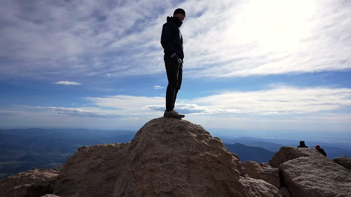
Up to the Boulder Field it's a trail, long and steady. Above the Keyhole it's a scramble on rock with big drops. The videos I watched getting ready made it look pretty gnarly, and the names for the sections, like the Narrows, kind of hype it up and make it a bit scarier than it actually was. I've done harder things, so I was totally fine on it and felt prepared. The Park Service is blunter: the Keyhole Route is not a hike, and an unroped fall there would likely be fatal. If you've never scrambled on exposed rock, practice somewhere easier first.
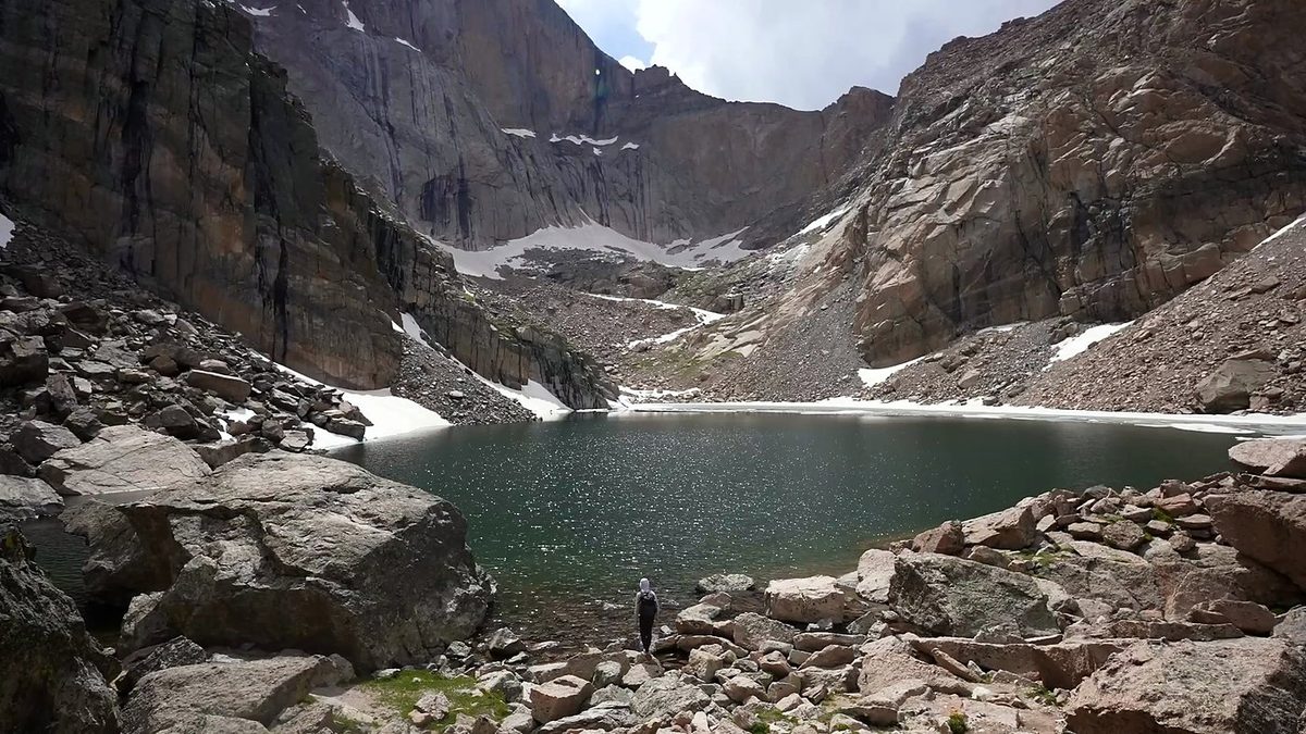
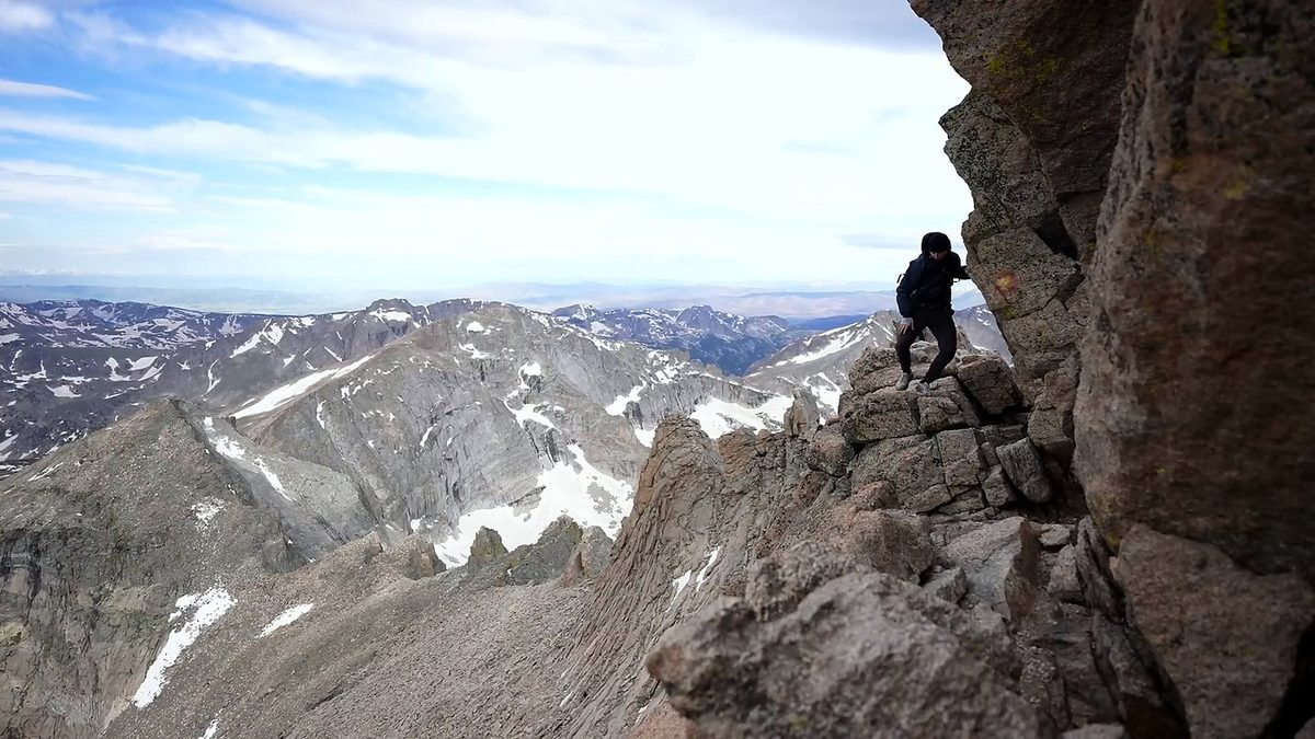
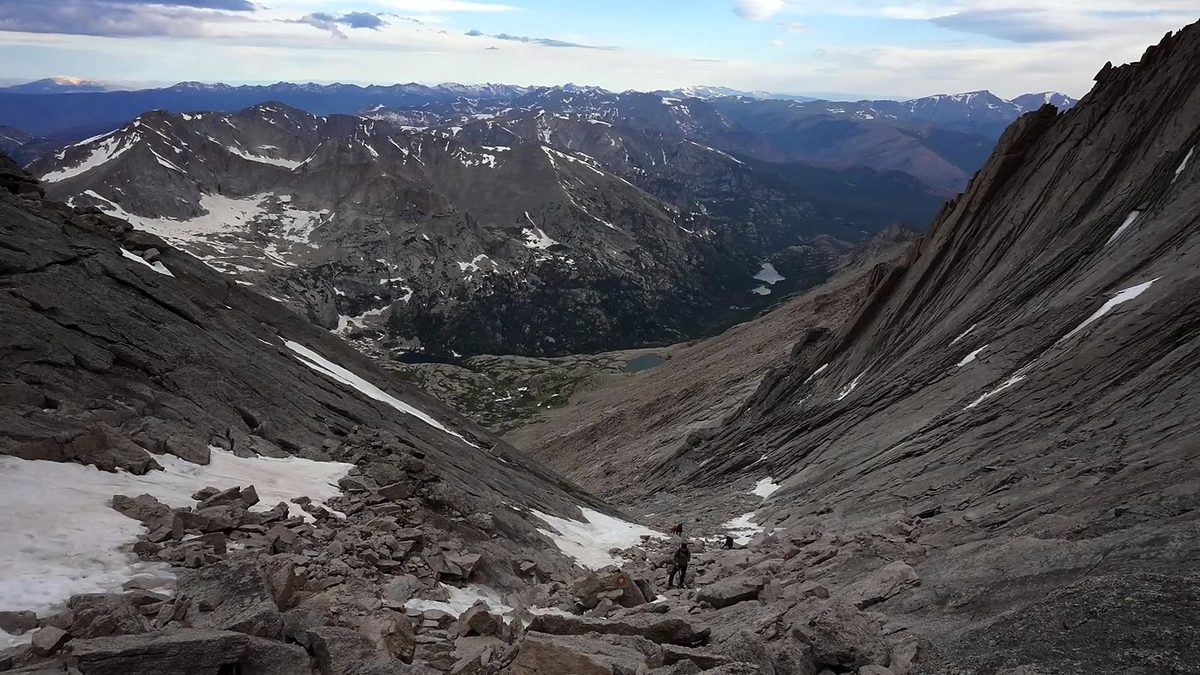
The route day by day, with maps and my GPX files, is in my free guide: Longs Peak on Follow the Hiker.