
Hiking Mount Whitney alone
In April 2021 I hiked Mount Whitney, the highest point in the lower 48 states, 14,505 ft (4,421 m), on the Mount Whitney Trail from Whitney Portal.
Watch it: Summiting Mt Whitney in California
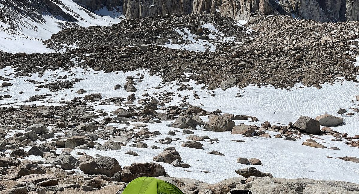
In April 2021 I hiked Mount Whitney, the highest point in the lower 48 states, 14,505 ft (4,421 m), on the Mount Whitney Trail from Whitney Portal. I flew from New York to Las Vegas, drove through Death Valley to the small town of Lone Pine, and did it in two days: up to Trail Camp, about 12,000 ft, on the first day, where I slept to get used to the altitude, then up the switchbacks to Trail Crest, along the back of the ridge to the summit, and all the way back down to my car on the second. About 20.8 miles by my GPS: 7.3 on the first day and 13.6 on the second.
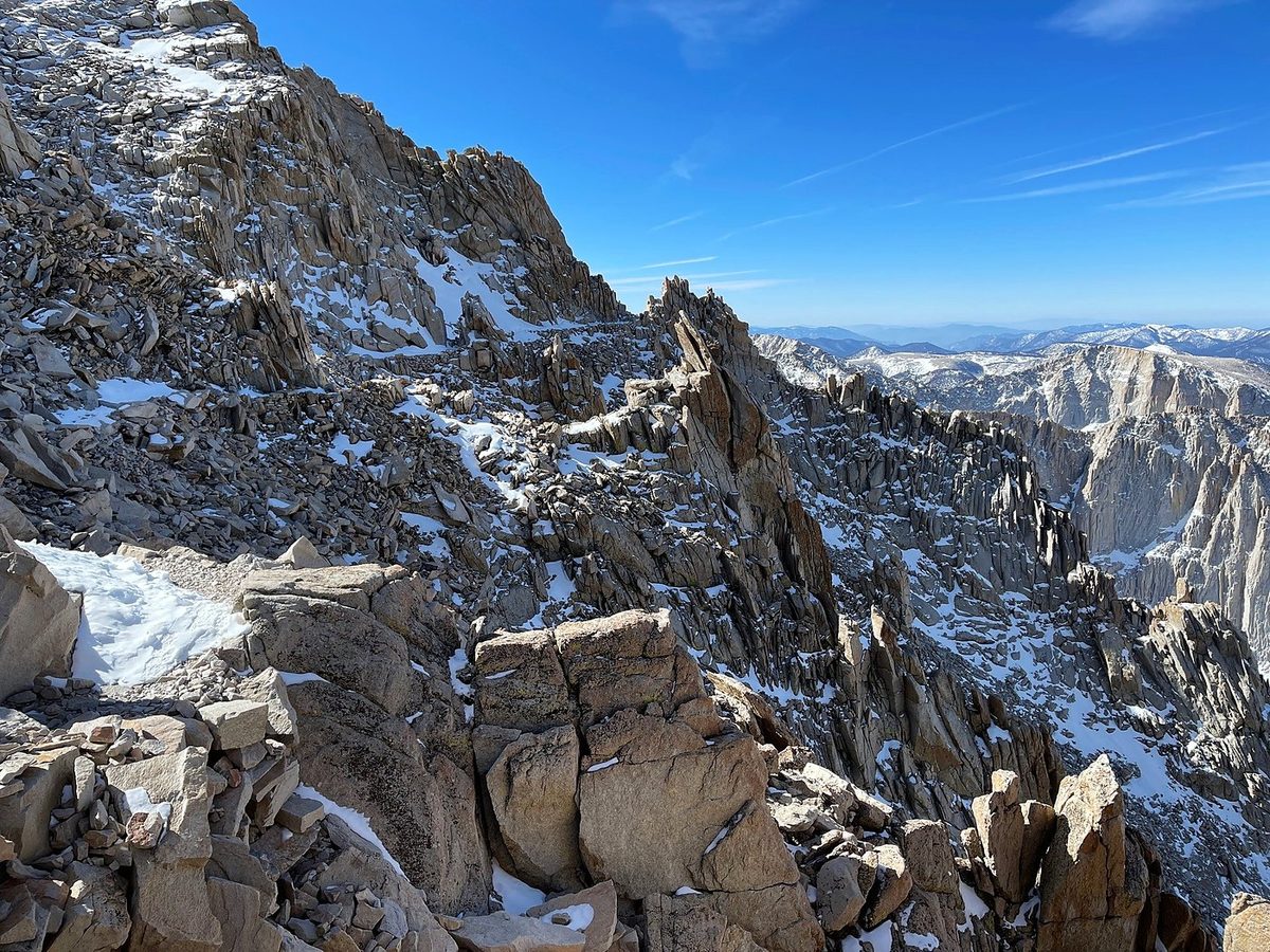
I went before May 1, outside the permit lottery season, with snow still on the upper mountain. That made the permit easy and the switchbacks harder.
On the trail
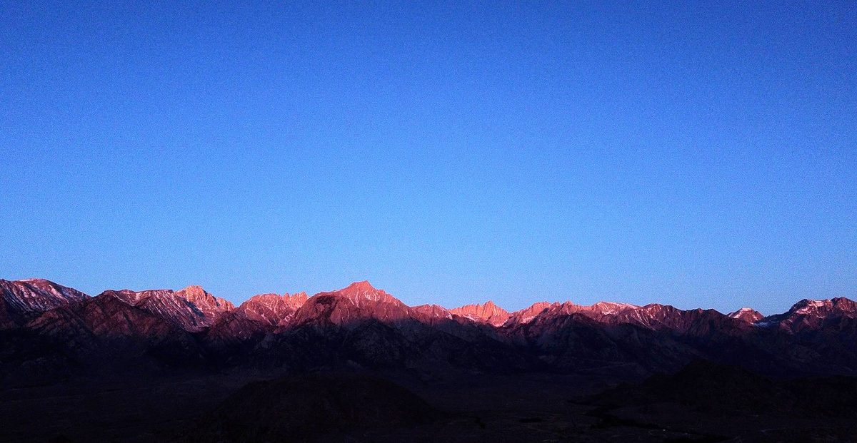
I started recording at Whitney Portal at 8:06 a.m. after my morning in the Alabama Hills. Even though it was pretty much a staircase up, up, up, Day 1 was pretty easy. I got a late start and had the entire day just to get to Trail Camp. My pack was about 22 pounds plus the camera, pretty light for an overnight. The trail climbs out of the pines with views back east over the Owens Valley. Fighter jets were flying all around the valley that day. I walked out to Lone Pine Lake, still frozen, at about 10 a.m., and passed the sign for the Whitney Zone just after it.
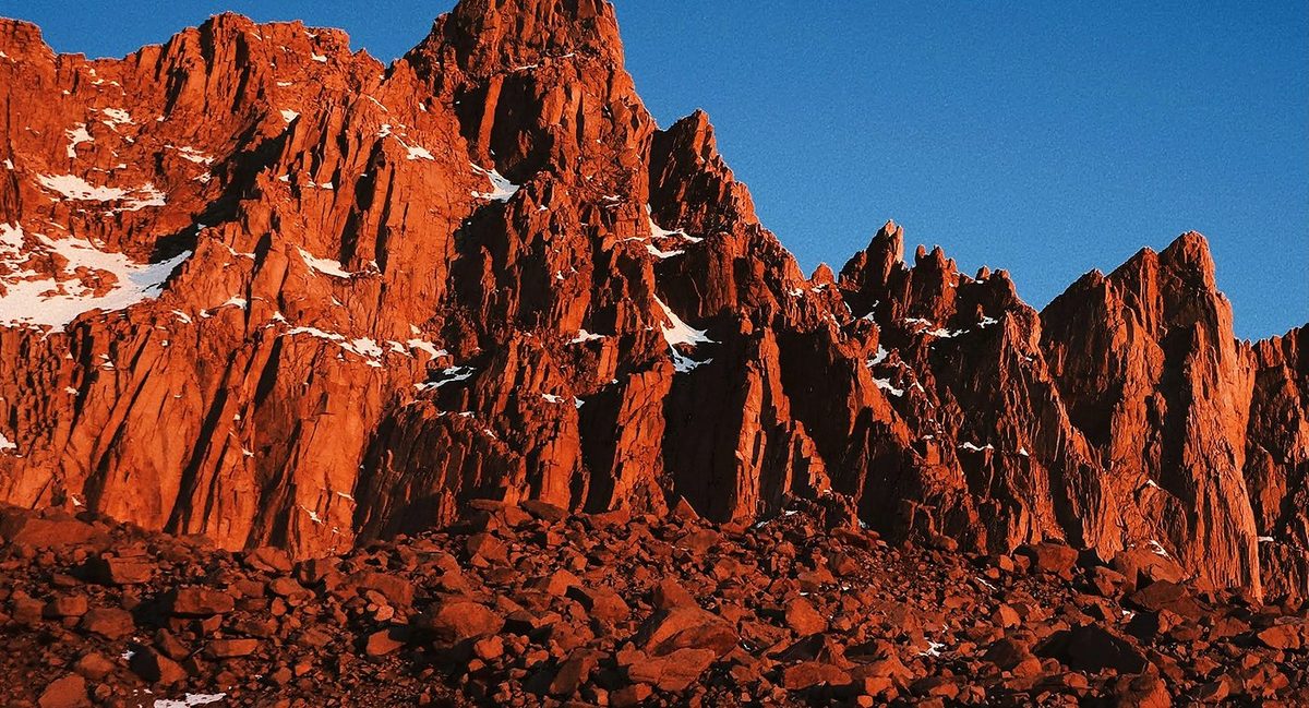
I was up before sunrise to watch the first light hit the needles above Trail Camp. I started recording at 5:52 a.m. Right above camp are all the switchbacks: people call them the 99 switchbacks. I didn't count them, but it definitely felt like a hundred. I was wearing microspikes. Some people go straight up the snow slope beside them with ice axes when the switchbacks are snowed in. I reached Trail Crest, 13,600 ft, at 8:23.
What I took from it
Two is what I did: up to Trail Camp on the first day, the summit and all the way down on the second. With a day permit you do it all in one long day. With the drive, I spent four days: in on the first, hike for two, out on the fourth.
The route day by day, with maps and my GPX files, is in my free guide: Mount Whitney on Follow the Hiker.