
Hiking Dientes de Navarino alone
In March 2025 I hiked the Dientes de Navarino circuit on Navarino Island, Chile: the southernmost trek in the world.
Watch it: Hiking the Dientes de Navarino Trail in Chile
In March 2025 I hiked the Dientes de Navarino circuit on Navarino Island, Chile: the southernmost trek in the world. About 32 miles in three days, a loop on foot from Puerto Williams around the jagged peaks of the Dientes (the "Teeth of Navarino"), past dozens of lakes and over five passes, with the Beagle Channel below.
I didn't know this hike existed before my friend Ryan hit me up asking if I wanted to join. Because it's a loop, I decided to go separate from Ryan and Dave, the opposite way. So I hiked it alone, and we met once, halfway, for a high five.
On the trail
We flew in that morning, walked from the airport into town, bought stove fuel, and I set off from the plaza a little after 1 p.m. It was a short road walk to the trailhead from town (about 5.4 miles on my GPS), and a few dogs followed me for this section. A white golden retriever followed me out of town, and it was nice having a dog companion again. He kept throwing me shade whenever I'd set up my tripod. Right before I got onto the actual trail off the road, he went somewhere. Who knows where he lives.
My first full day started at 7 a.m. with clear skies. The "choose-your-own-adventure" trail continued, with difficulty finding the path at most times. Beautiful lakes, and the big pass of the hike. The campsites were great. There were these dead white tree branches that people had placed around the spot where tents go, and I think it looks pretty cool.
Another day of sunlight and cinematic clouds. Conditions were so nice for hiking and filming. Such a nice time out here. Thanks, Chile. I finished the hike a few hours before Ryan and Dave, and enjoyed a nice meal at a restaurant and sipped some coffee in the plaza outside. There were dogs hanging out. It was just really pleasant to sit and chill.
What I took from it
Hard. The official leaflet calls the trail poorly marked and intermittent, with cairns on the passes and paint marks on trees in the last forest. In my words: muddy, hard to follow and a bit of a maze at times, a choose-your-own-adventure trail with difficulty finding the path at most times. I would get lost without AllTrails downloaded. Carry the GPX files on your phone and a backup.
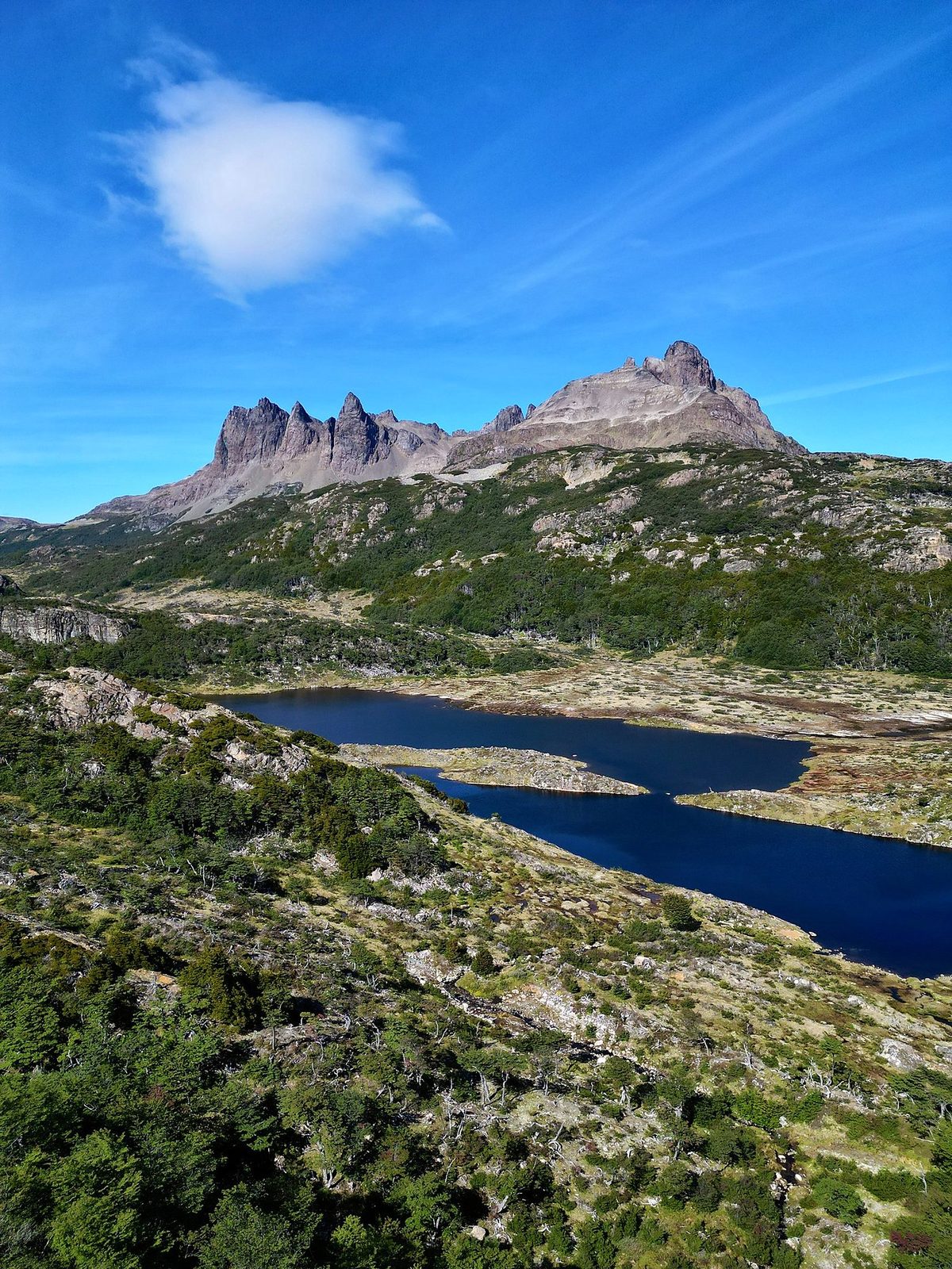
I did it in three days of 9 to 12 miles. The municipality and Chile's tourism board say 4 to 5 days, and the official leaflet plans 5. Add a spare day for weather.
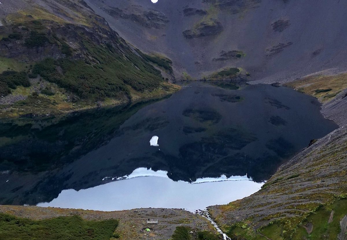
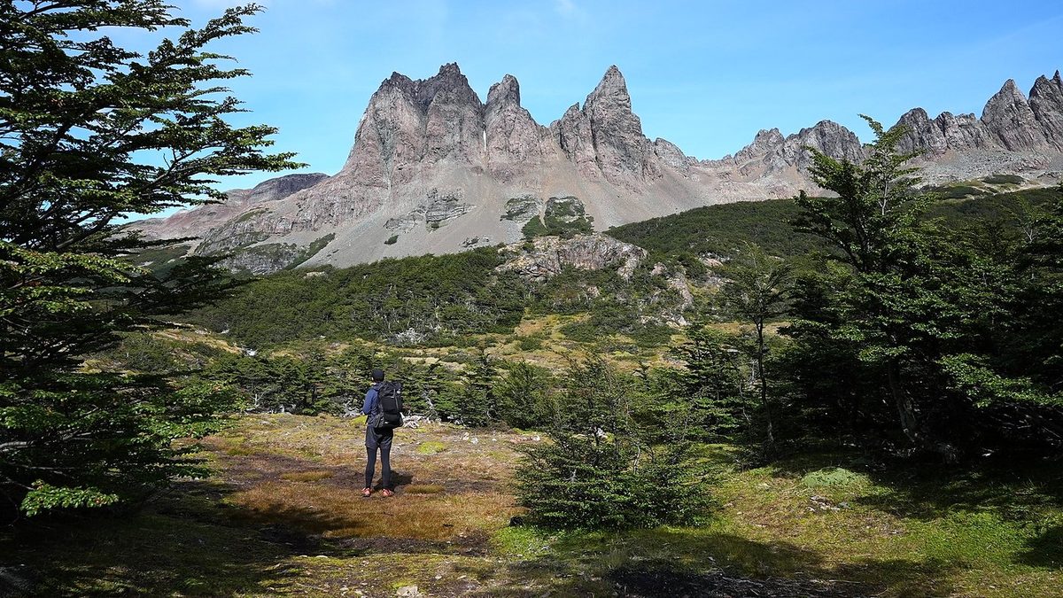
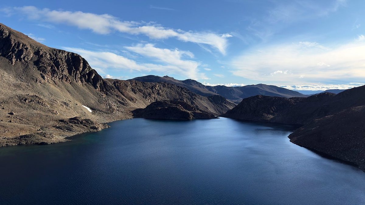
The route day by day, with maps and my GPX files, is in my free guide: Dientes de Navarino on Follow the Hiker.