
Hiking Haute Route, Chamonix to Zermatt
In August 2025 I hosted a group hiking trip on the Haute Route in the European Alps.
Watch it: Hiking 100 Miles on the Haute Route Chamonix to Zermatt
In August 2025 I hosted a group hiking trip on the Haute Route in the European Alps. We hiked hut to hut for nine days, from Chamonix, France, to Zermatt, Switzerland, over a pass or two almost every day, and finished beneath the Matterhorn. This trail was one of the best I had ever hiked.
This is the Walker's Haute Route, the summer hiking route between Chamonix and Zermatt. It is not the glacier Haute Route, the ski and mountaineering route with the same name. Nothing in this guide crosses a glacier.
On the trail
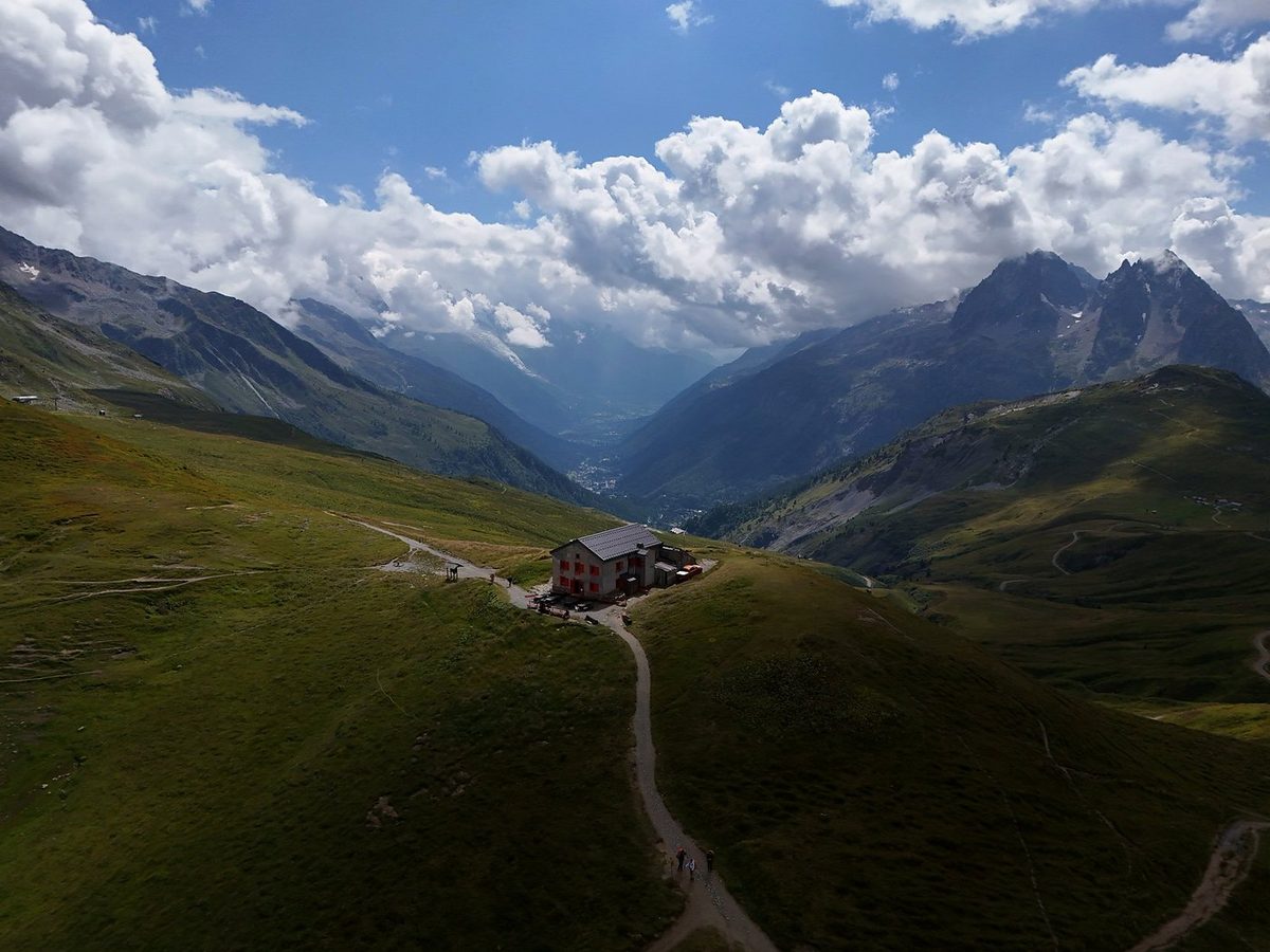
Today we'd be hiking only 10 miles and stopping for lunch up at the high point. Before then we found wild raspberries, wooden statues and dense fog. The views at the top were limited as clouds filled the valley and rain clouds started to appear. We reached the Refuge du Col de Balme as the rain came down, covering my camera lens. After a nice coffee break the sun came back out, and we started down into Switzerland. We passed purple flowers, took a group photo, and descended into pine forest until we reached a campsite in the valley. This stretch is also the Tour du Mont Blanc, so a few subscribers stopped to say hello.
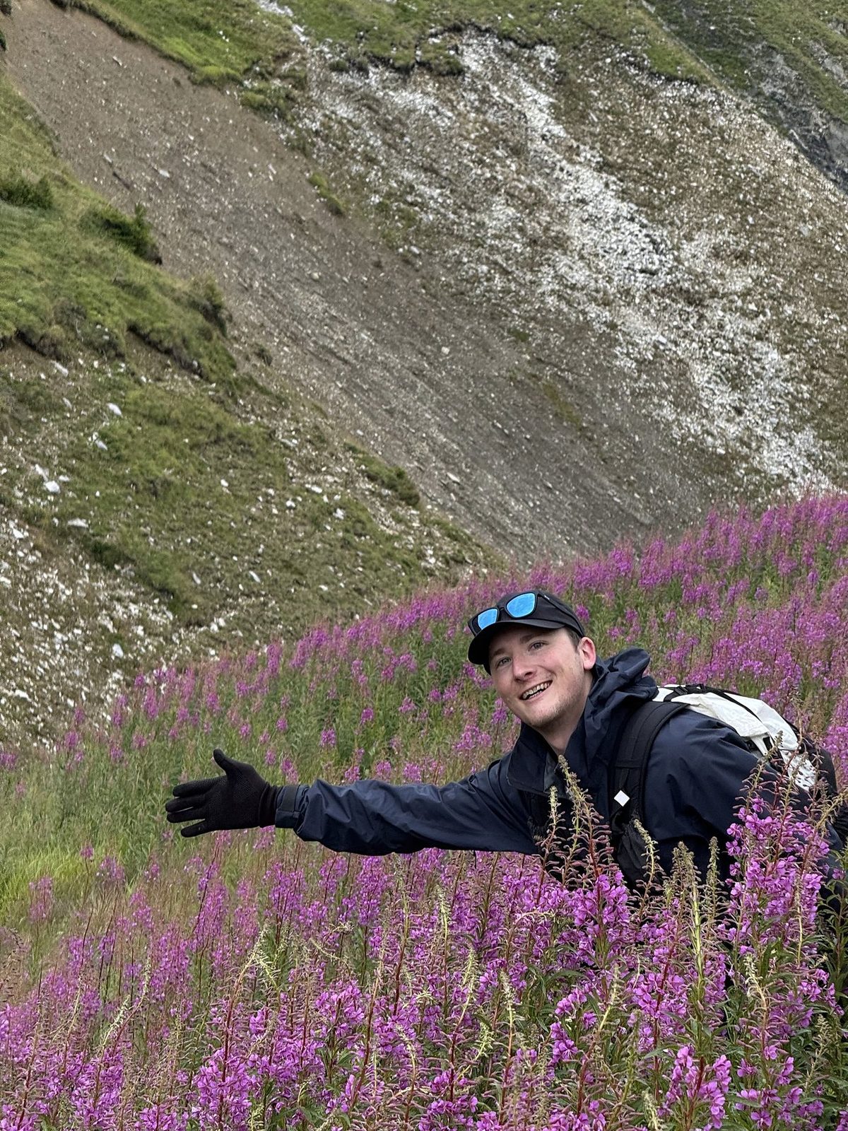
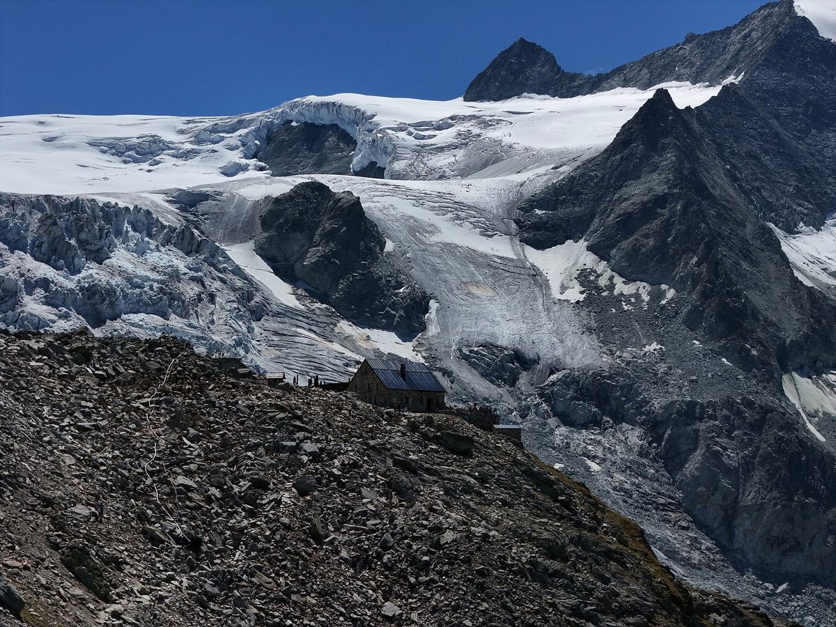
The next morning was crystal clear. I packed up my Hyperlite and started off before the sun hit the valley. We bought falafel next to the campsite, filled up water, and mixed in with the Tour du Mont Blanc hikers already packing up their tents. We started with a climb through the forest and past a bridge, and the valley eventually turned into glacier, reflecting the bright sunlight as we climbed. The fruit tarts at the Buvette du Glacier du Trient were exceptional with a coffee.
Day 4 was another clear morning. We folded our blankets before leaving the hut. The sun reflected off the lake as we started the climb past flowers at its head, and I got to see some alpine ibex. I rushed to the pass alone so it was easier to film and fly the drone, and met some Polish hikers who subscribed to my channel.
This was an easy 9.4 miles, almost entirely downhill to Grimentz. With the glacier at our backs we came down to the lake and its massive dam. The water was so solid in color and still against the curving concrete wall. Hikers crossing it looked tiny, with shimmering reflections of the white glacier behind them. As I hiked on, the dam grew smaller until I reached town.
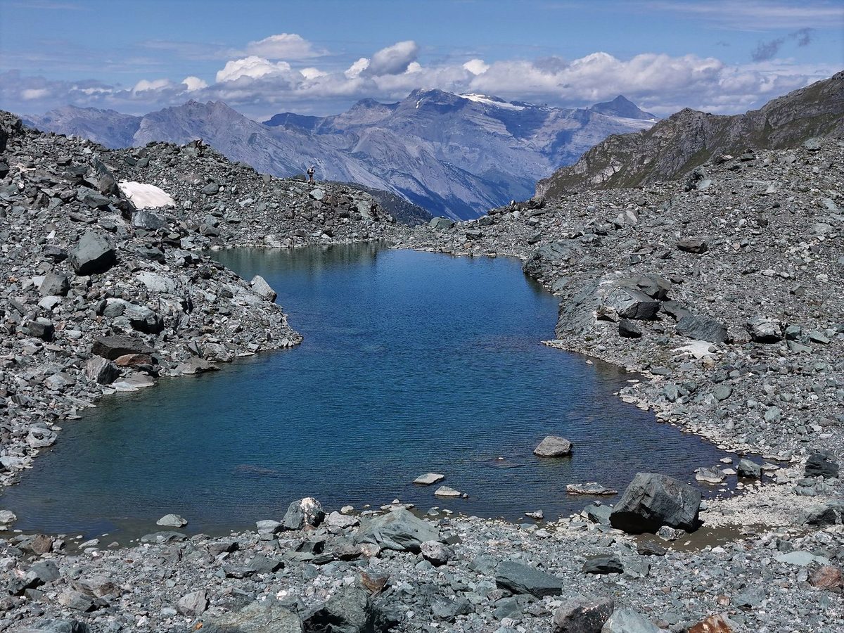
This was a hot 8 miles up the Bella Tola and down to Gruben. On the way up I came across a mountain biker carrying a bike up to the peak, which meant he'd ride down eventually. That seems crazy. At some point a couple of us stopped for lunch and a quick dip in an alpine pond, a nice moment of the trip to just relax. The rest was a dry slog across loose rock under hot sun. I came down alone into the valley to our stop for the night, the Hotel Schwarzhorn.
I started the final climb in the shade of the valley, my legs completely warmed up and used to hiking day after day. One last lunch at the pass with the group marked the halfway point. The weather was hazier than usual, but the views of our final valley were exceptional. I found a good thumbnail for my YouTube videos here, and our hike officially ended at a restaurant, where we drank Coke while cooling off. We took the cable car down to the train station at St. Niklaus and rode to Zermatt, at the foot of the Matterhorn. I stopped filming and just enjoyed my time there before we all went our separate ways the next morning.
What I took from it
No. We rode a shuttle and two gondolas on Day 3, a bus after Day 5, a bus and a funicular after Day 7, and a cable car and a train at the end. Usually I'm a completionist. I like to do a trail from point A to point B on foot. But these little detours actually made sense. If you want to walk them, see Other ways to do it.
I walked 9 days, plus a day in Chamonix before the start. Our days were short: 6.5 to 11.2 miles and 4 to 8 hours with stops. You can add days or take days away depending on your experience.
The route day by day, with maps and my GPX files, is in my free guide: Haute Route, Chamonix to Zermatt on Follow the Hiker.