
Hiking Lantau Trail
I love visiting Hong Kong.
Watch it: Hiking in Hong Kong
I love visiting Hong Kong. Five years before this trip, my friend Ryan and I hiked the MacLehose Trail across the New Territories, and on the way out we noticed there was one other long-distance trail in Hong Kong, near the airport. We vowed to come back and hike it. In January 2025 we did, with my friend Renee: the Lantau Trail on Lantau Island, the big mountainous island the airport sits next to.
We took the ferry from Central to Mui Wo, climbed toward Sunset Peak and camped above the airport. The next day we went down to Pak Kung Au in the rain, waited it out in Tung Chung, and went back up over Lantau Peak in the fog to the Big Buddha at Ngong Ping. On the third day we walked west to the fishing village of Tai O and down the still west coast to a campsite by the sea, and on the fourth we walked out along the south coast to the road at Shek Pik. About 30.4 miles by my GPS over four days and three nights, on Sections 1 to 8 of the trail's 12.
On the trail
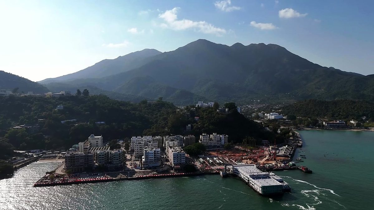
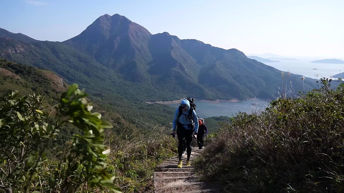
We came off the ferry with mostly blue skies and bits of cloud hanging over Sunset Peak, and less than three hours to get to the night's camp before sunset. The Lantau Trail starts right in Mui Wo, through a big wooden gate. The first section follows the road up past the villages to Nam Shan, which we reached at 4:07 p.m. Then the stairs begin, and these first sets of stone steps foreshadow the defining thing about this trail. Ryan and I happened to be shooting the exact same type of video, so we had to talk about who was getting which shot.
It was wet in the morning and pretty socked in. I slept well; on this hike I'd switched to an accordion foam sleeping pad, and it was perfectly fine, maybe a good option for warmer hikes compared with blowing up an air pad. Because it was so overcast we skipped the actual top of Sunset Peak; it just didn't seem worth it. Some subscribers from Korea were hiking the same trail and said hello.
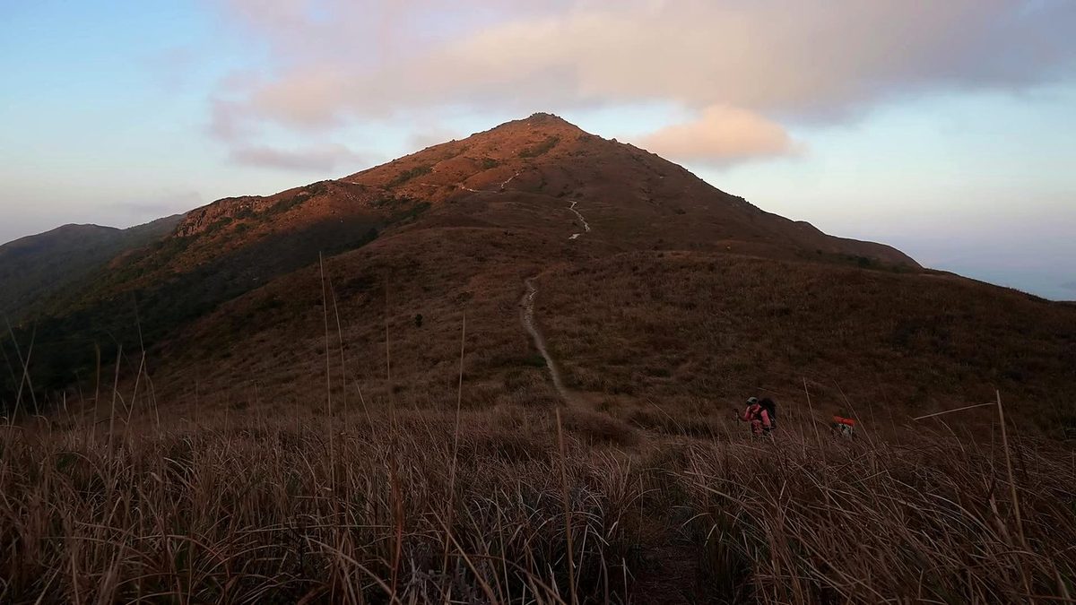
The next morning brought clear skies and lots of wind. We cooked breakfast, packed up and left at 8:06 a.m., before anyone else in the campground, with Lantau Peak at our backs. We walked out of the village on roads for a bit, following the sign to Sham Wat Road, before we found a nice viewpoint. It was really nice to finally have a full day of hiking and better weather, but we also had blow-your-hat-off wind; you could see it rippling the reservoir below. Lantau Peak looked far less formidable without the rain and clouds. We had over 12 miles to go, and this first part was up and down some large hills, but nothing too crazy.
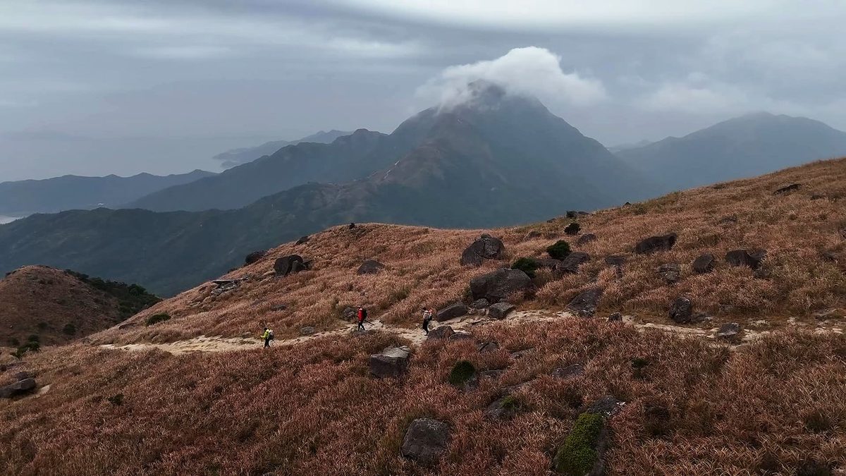
Our last day of hiking was an easy one. We had a slow wake-up at camp and left at 7:27 a.m. Down in Fan Lau we found an awesome bathroom, bananas growing, and an arrow pointing to drinks, and stopped for a simple breakfast at an outdoor table from 7:57 to 8:19.
What I took from it
We took four days and three nights for Sections 1 to 8, with a short first afternoon, a half day lost to rain, and long stops in Ngong Ping and Tai O. In the film I say three days; my GPS and my notes say four. AFCD's walking times for Mui Wo to Tai O add up to about 12 hours, so it can be done in two long days.
The route day by day, with maps and my GPX files, is in my free guide: Lantau Trail on Follow the Hiker.