
Hiking Southern Iceland: the Laugavegur and a group trip alone
In July 2022 I hiked alone across the highlands of southern Iceland in three days.
Watch it: Hiking the Laugavegur Trail in Iceland
In July 2022 I hiked alone across the highlands of southern Iceland in three days. I started at Landmannalaugar, walked the Laugavegur through the coloured rhyolite hills, the snowfields and the black-sand deserts to Þórsmörk, and then crossed the Fimmvörðuháls pass between two glaciers and followed the Skógá down past waterfall after waterfall to Skógafoss. Technically it's two hikes put together. It came to about 59 miles by my GPS. I camped at the huts and took the highland bus from Reykjavík.
Most people walk the Laugavegur in four days, sleeping in the huts, and add Fimmvörðuháls as a fifth. I did it fast, about 20 miles a day, with my own tent and stove. This guide has my three days, what I paid, and everything you need to plan your own trip at your own pace, with a hut or a campsite every night.
On the trail
The bus got me into the highlands at the trailhead. Landmannalaugar has a hut, a hot spring, a big campsite, a lot of people and families, and a little mall of supplies in some old buses. I wouldn't completely depend on it, but they have a lot of stuff. I made my way up into the hills and hiked about 20 miles that first day (my GPS shows 17.7 mi), with a bit of elevation gain and some patches of snow. The trail climbs through a geothermal area, just really pretty little mountains, with steaming vents beside the path. Higher up there was lots of snow, but still no spikes necessary. I blew right past the first hut, Hrafntinnusker, because I didn't have any reason to stop.
A very nice thing to wake up to was a stream crossing right away in the morning, in the cold. Just really cool vibes. This was the day of the volcanic black sand. It feels like the moon for this section, but it's pretty flat, a little boring. I passed Emstrur, where I had some ramen. There's a hut there, and I'm sure you could buy some food, but I just cooked my own. After Emstrur the trail crosses a deep gorge on a footbridge, and the country turns green, with birch and flowers, as it drops toward Þórsmörk. I waded the Þröngá, the last river, and pulled into the area of the Volcano Huts in Húsadalur at 3:25 p.m. Another 20-ish-mile day.
The next day was another 20-mile hike. I had the all-you-can-eat breakfast buffet first and started walking at 9:25. I crossed the Krossá on a couple of footbridges, which were nice, because the streams were pretty big, and blew right past the campsite at Básar. There are still a lot of trees in this area. Once you get above the trees it starts to get really, really pretty, and just so diverse. A lot of clouds and fog were rolling in. Up top you pass the peaks of the volcano. You don't really summit them, but all of it is volcanic black soil. There's a lot of snow to cross. Obviously it'll be different for everyone, but I had to walk in snow a lot.
What I took from it
I think it's not that bad. It's pretty low altitude, so you don't have to worry about altitude sickness, and it's not technical: you just have to do the miles. The river crossings are probably the most difficult part, and they might overwhelm some shorter people. I had water up to my waist at one point, and it's cold. The weather is the other thing. The wind can be relentless, mixed with rain and sometimes snow and hail, and I was hearing stories that a bunch of people got hypothermia a couple of days before I hiked. Pick a good forecast window.
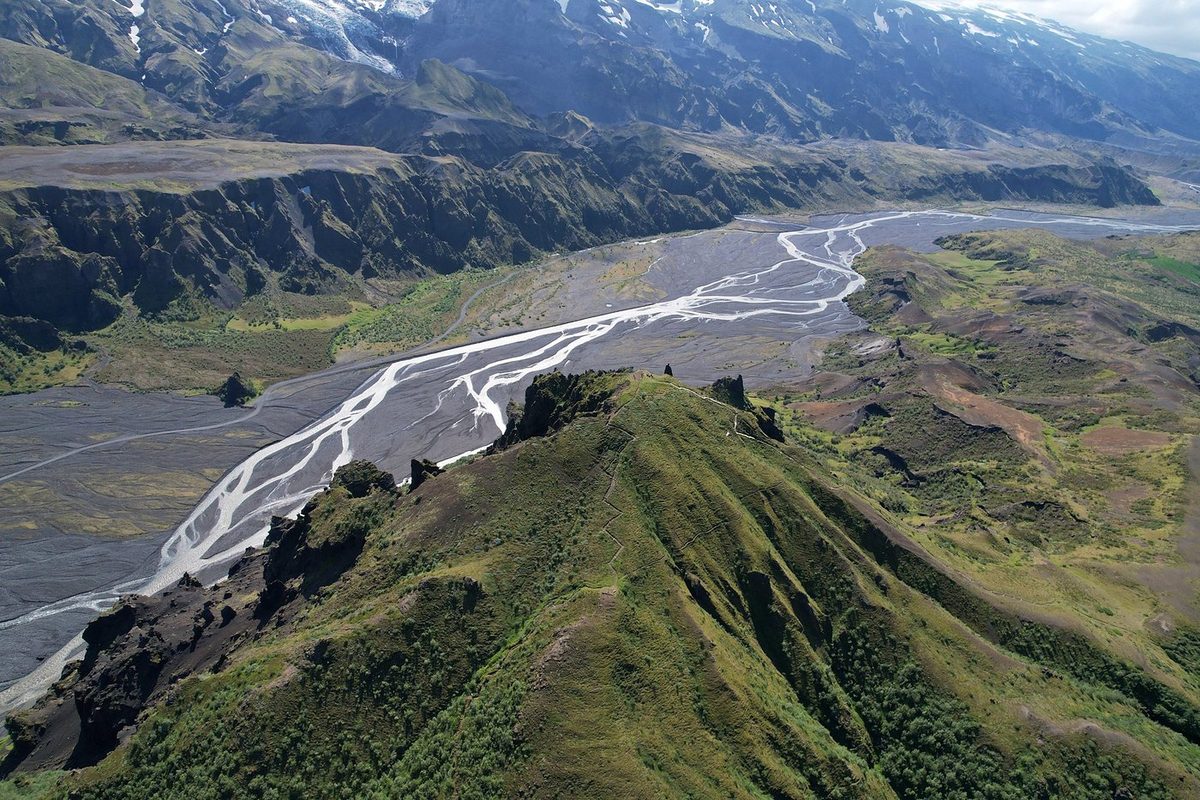
I did it in three: two days on the Laugavegur and one over Fimmvörðuháls, about 20 miles each. The usual pace is four days on the Laugavegur and one or two more for Fimmvörðuháls.
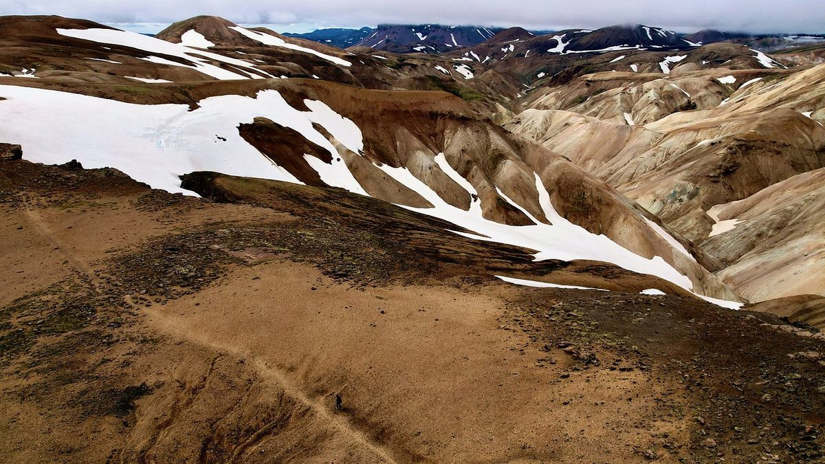
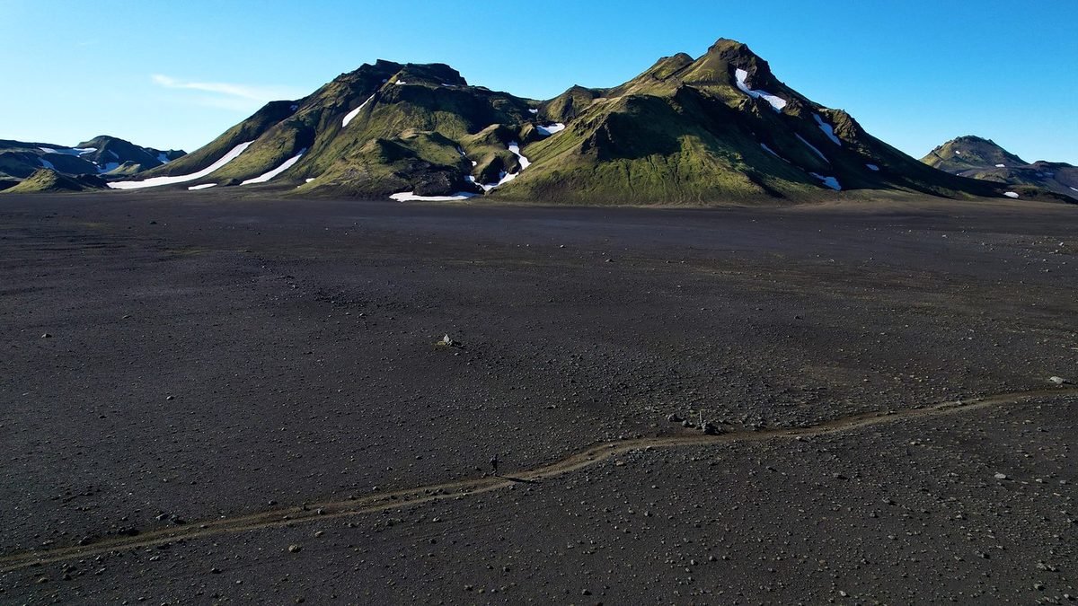
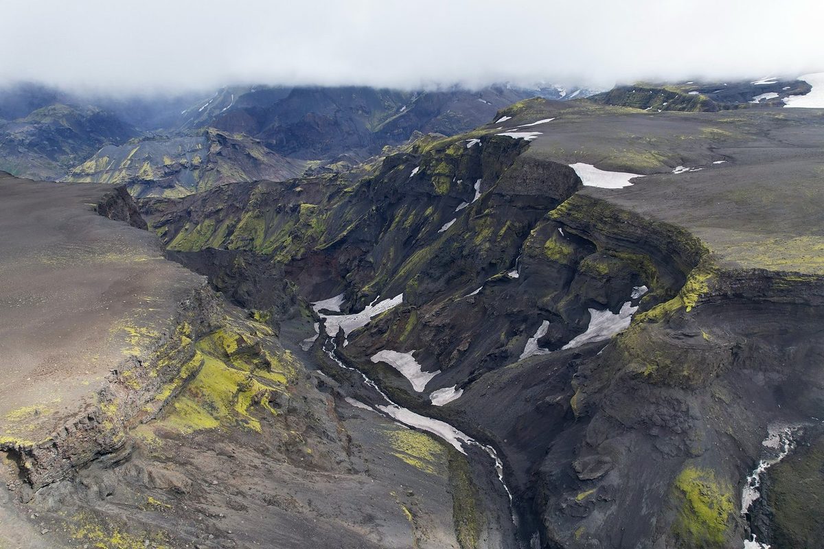
The route day by day, with maps and my GPX files, is in my free guide: Southern Iceland: the Laugavegur and a group trip on Follow the Hiker.