
Hiking MacLehose Trail
In January 2020 my friend Ryan and I hiked the whole MacLehose Trail across Hong Kong, from Pak Tam Chung in Sai Kung to Tuen Mun: about 71 miles on foot on my GPS, camping four nights, with.
Watch it: Hiking 60 miles on the MacLehose Trail in Hong Kong
In January 2020 my friend Ryan and I hiked the whole MacLehose Trail across Hong Kong, from Pak Tam Chung in Sai Kung to Tuen Mun: about 71 miles on foot on my GPS, camping four nights, with a break in the city for Lunar New Year.
The MacLehose Trail is an interesting hike because it connects a number of different sections: park walking paths, village roads, and ridges overlooking the massive city of Kowloon. One day you're on the beaches of Sai Kung; a few days later you're on Lion Rock, looking down on Kowloon.
On the trail
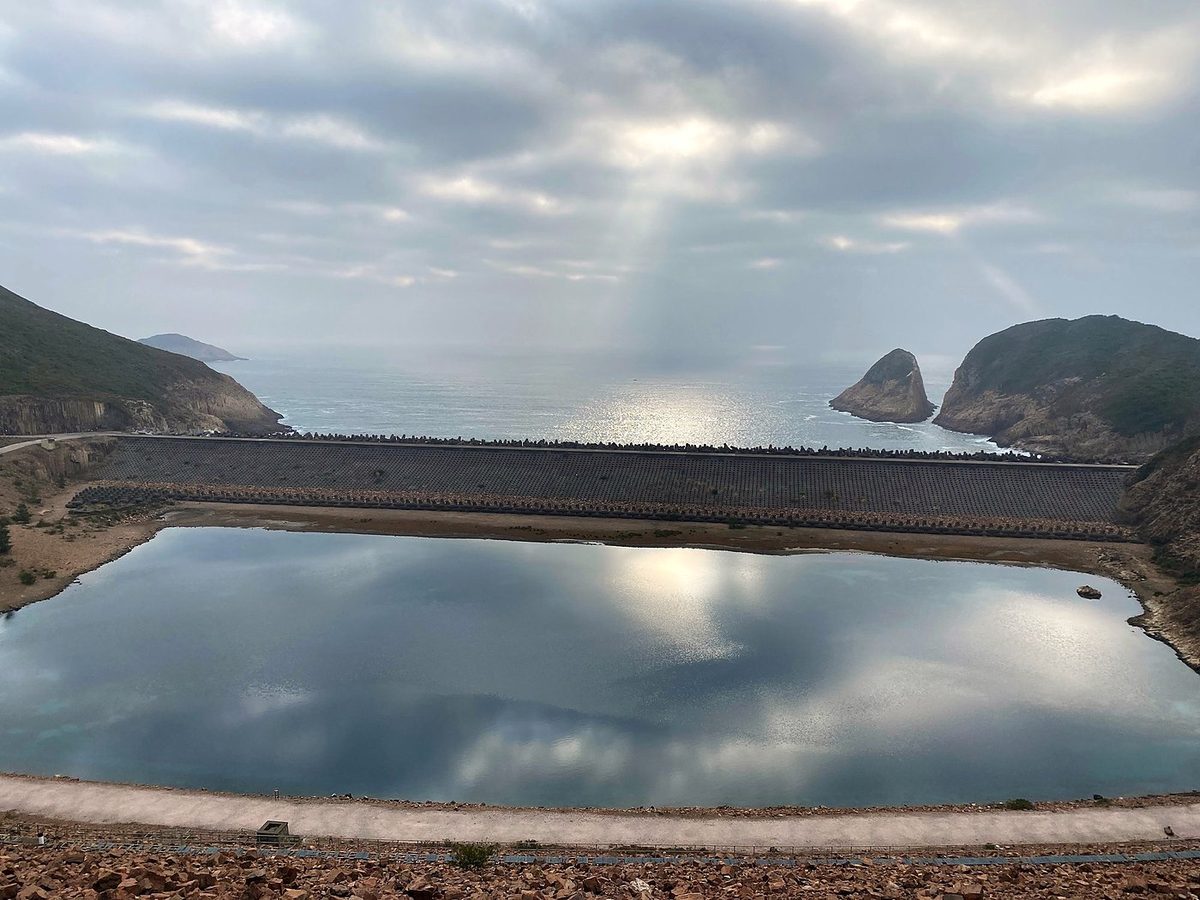
We started late, at 3:40 in the afternoon, from the bus stop at Pak Tam Chung. Section 1 is a paved road: it follows the reservoir road from the visitor center along the edge of the water, past the Yuen Ng Fan viewpoint at mile 2 and the High Island viewpoint at mile 3.9. It was cloudy, with the sun breaking through over the water. At about 6 p.m. we reached the Pak Lap campsite, beside the road near the East Dam, and that was our first night.
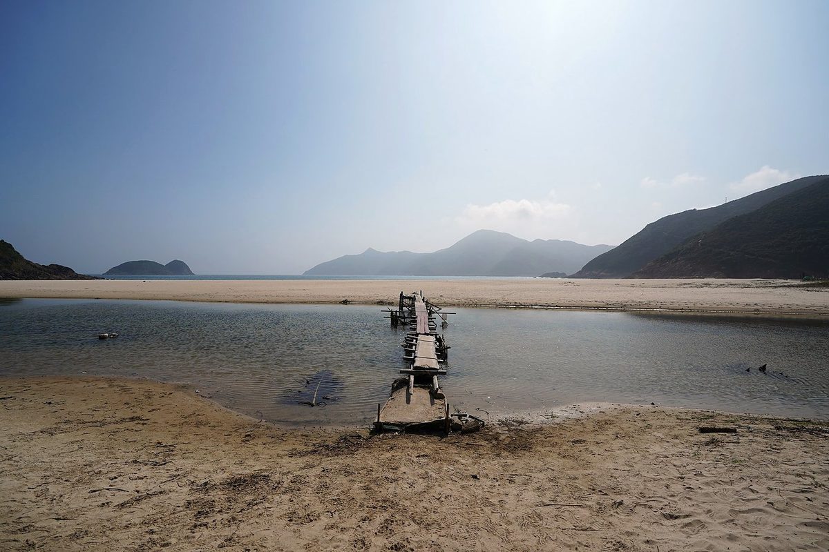
We left the campsite at 8:07 a.m. and crossed the East Dam at 8:20, with the reservoir on one side and the open sea on the other. Then the path climbed over the hill and dropped down toward the beach at Long Ke. From Long Ke we went over the next hills to Sai Wan, the first village with restaurants, and got there just before 11. We stopped for an hour.
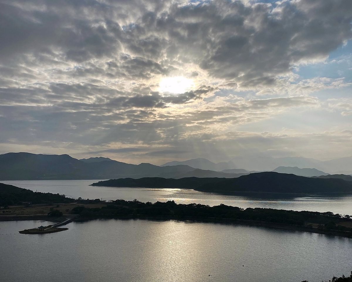
This day is in two parts. On January 24, the eve of Lunar New Year, we left Cheung Sheung at 7:54 and came down through the woods to Sai Sha Road at Kei Ling Ha, the end of Section 3, at about 10:40. We stopped there for an hour. Section 4 climbs from Shui Long Wo through woods and bamboo, and it was misty. We got up to the Ngong Ping plateau, below Ma On Shan, at 2:30. From there we walked on along the trail for a while, then left it on a path down to the main road at Tai Chung Hau, near Sai Kung town, at 3:53, and went into the city for two nights.
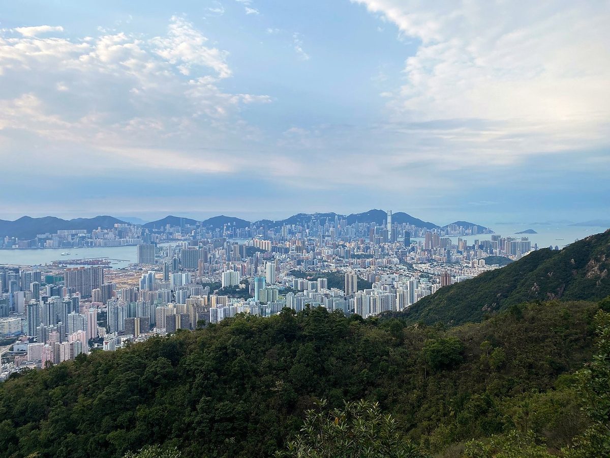
We left Sha Tin Pass at 8 a.m. and climbed to Lion Rock. We went up to the top and spent 25 minutes there, with all of Kowloon below us. Then along the ridge to Beacon Hill at 9:45, and on through the woods past Eagle's Nest and Kam Shan, where the monkeys live.
We left Lead Mine Pass at 8:23 and climbed Tai Mo Shan, Hong Kong's highest mountain. The trail goes around below the summit, which has domes and masts on top; we were at the high point of the day at about 10. From the viewpoints we came down to Route Twisk at about 11, then through Tai Lam Country Park, past Tin Fu Tsai at 12:24 and Tai Lam Chung Reservoir. The last section is long and gentle. We reached the end of the trail in Tuen Mun at 3 p.m. and kept walking to the beach nearby.
What I took from it
We walked five days, with a two-day break in the middle for Lunar New Year. Strong hikers do it faster, and many people walk it a section or two at a time, going home to the city at night: buses reach almost every section end. AFCD, the parks department, adds up to about 37 hours of walking for the 10 sections.
Not what I expected. I had done some research, and there weren't too many videos. The trail is more a collection of smaller trails, almost like state park trails, connected with roads and pavement and sidewalks and stairs. The first section is a paved road around a reservoir. Then come the beaches of Sai Kung, the long ridges over Ma On Shan, Lion Rock above Kowloon, and Tai Mo Shan.
The route day by day, with maps and my GPX files, is in my free guide: MacLehose Trail on Follow the Hiker.