
Hiking Manaslu Circuit
In early November 2022 I hiked the Manaslu Circuit in Nepal: about 100 miles in ten days around the eighth highest mountain in the world, up the Budhi Gandaki valley, over Larkya La and down.
Watch it: Hiking 100 miles on the Manaslu Circuit Trek in Nepal
In early November 2022 I hiked the Manaslu Circuit in Nepal: about 100 miles in ten days around the eighth highest mountain in the world, up the Budhi Gandaki valley, over Larkya La and down to Dharapani. It was my third trip to Nepal in three years, after Mardi Himal and Everest Base Camp, and a different area above Kathmandu each time. I love Nepal, and I'll definitely go again.
This wasn't a solo hike. It was a group trip I hosted with subscribers, run by the trekking company Vagabond Trails, with a guide, a Sherpa mountain leader and porters to carry the duffels. Everything was taken care of, and I just had to go and enjoy myself. So this guide gives you my GPS files, maps, photos and notes for every day, and plain, checked facts for the things the company handled for me: the permits, the rules about guides, and the roads in and out.
On the trail
We started walking from Machha Khola at 7:57 a.m. after a night there at the end of the drive. It's the lowest part of the trek, warm, with steep green valley walls and waterfalls coming down onto the trail. We crossed the river on suspension bridges, passed Khorlabesi and Tatopani, and rolled into Jagat in the middle of the afternoon.
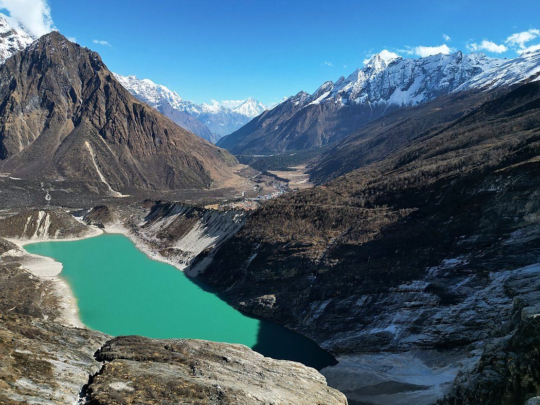
The longest day in the lower valley. We crossed the river on a long wooden suspension bridge near Philim, passed through villages and terraced fields, then went into the gorge, where the path climbs high above the river and drops back down more than once. We reached Deng at about 4:45 p.m. That night I posted 14 miles and 3,500 ft of climbing for the day on Instagram.
The day we climbed out of the forest. We reached Namrung, with its stone buildings, gate and a big fluffy dog lying in the square, around lunchtime, and walked on in the afternoon past barley fields near Lhi. We got to Lho just before 5 p.m. and stayed in a colorful teahouse there.
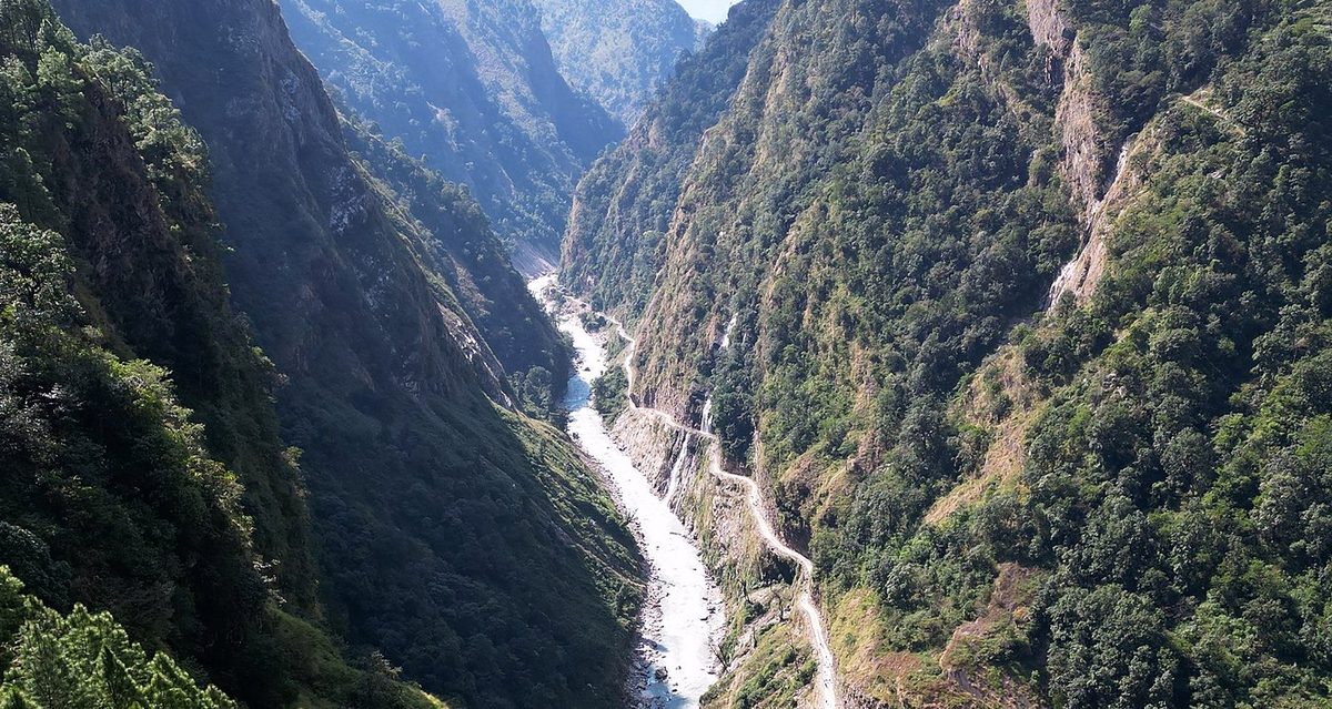
The shortest day of the trek: just over two hours up the open valley, with the river below and big peaks all around, to Samdo, a small village near the Tibetan border. We were there by mid-morning.
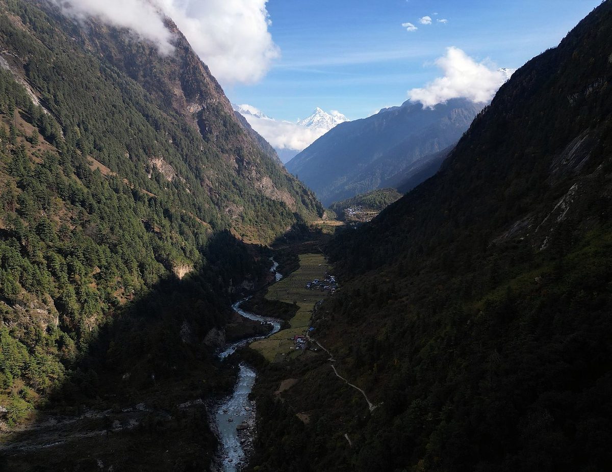
The big pass. We left Dharamsala at 4:39 a.m. with headlamps, in the dark and the cold, and walked up over the snowy moraine as the sky got light. We reached the top of Larkya La at 8:05 a.m., with its huge pile of prayer flags. Then came the long way down, past glaciers and big snow peaks, to Bimthang in the afternoon, ten hours after we started.
The last day of hiking. I absolutely loved getting to trail run down, almost 14 miles of running downhill, going through the fall colors. It was nice to be alone for a little bit and get some exercise. At the end I stood under the "Thank you" gate near Dharapani. That day was more than 6,500 ft of descent, and that night we celebrated in Dharapani with a cake.
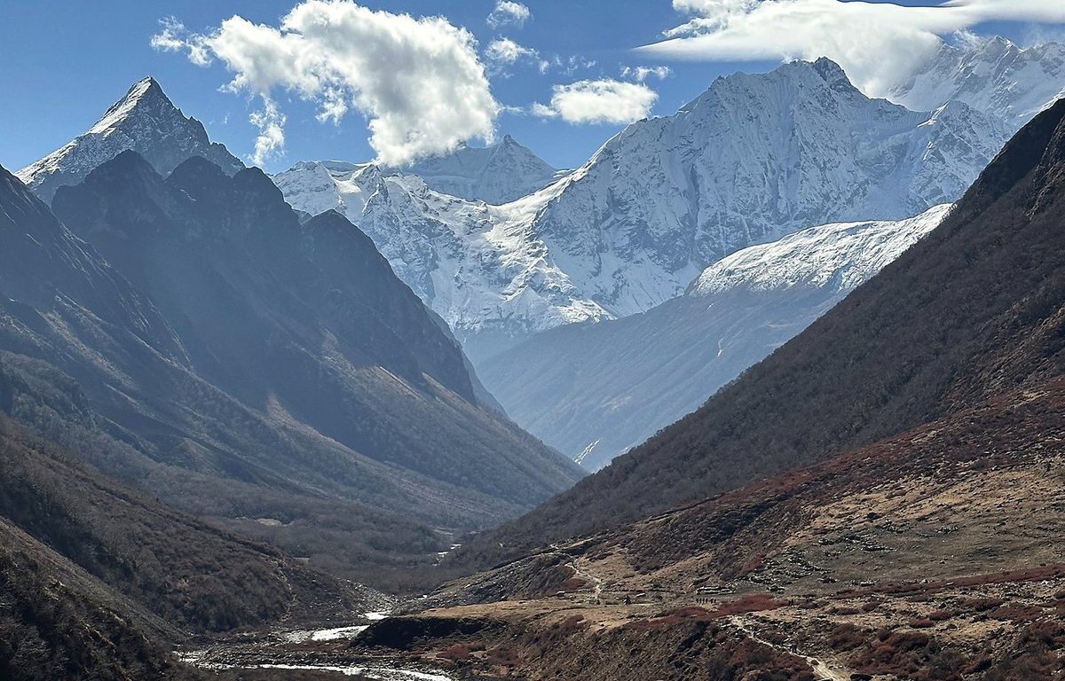
What I took from it
I walked ten days, with one of them a round trip to Manaslu Base Camp from Samagaon to help with the altitude. Add a day in Kathmandu to get ready, a long day's drive to the start and a long day's drive out, and plan on about two weeks in Nepal. My whole trip ran from November 1 to November 15.
The trail is pretty rugged compared to others I've done in Nepal. It runs along the river on a dynamic trail: in the monsoon the water rises and destroys parts of it, so rocks can fall and dirt can be loose. The hard days are the long ones low down, where it climbs and drops a lot, and Day 9, the pass: I started at 4:39 a.m. and walked for ten hours, up to about 16,900 ft and down more than 5,000 ft.
The route day by day, with maps and my GPX files, is in my free guide: Manaslu Circuit on Follow the Hiker.