
Hiking Torres del Paine O Circuit alone
In March 2020 I flew to southern Chile and hiked Torres del Paine alone: the O circuit around the back of the Paine massif, then the W along its front, finishing at the foot of the three.
Watch it: Hiking 80 miles Alone in Torres Del Paine Chile
In March 2020 I flew to southern Chile and hiked Torres del Paine alone: the O circuit around the back of the Paine massif, then the W along its front, finishing at the foot of the three granite towers. I'd always wanted to hike in Patagonia, and Torres del Paine is one of the hikes you find the moment you research long treks. Most of the hiking world was still cold that March. Chile wasn't. I walked it in five days, about 85 miles by my GPS, with my own tent and food, and on the fourth day I let loose and walked 31 miles from Grey to Central.
Compared to other trails I've hiked, I'd call it a more remote, more isolated version of the Tour du Mont Blanc, with not as much elevation gain. What makes it work is planning: every night must be booked, the O goes one way only, and there are no fires and no wild camping.
On the trail
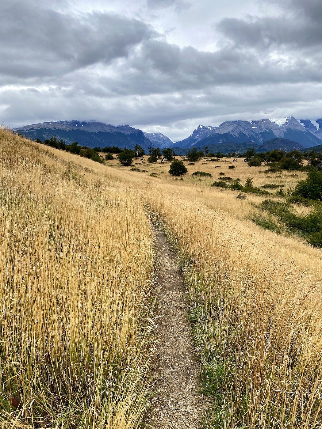
The bus from Puerto Natales dropped me at the Laguna Amarga entrance, and I started walking at 9:20 a.m. The first part is open golden grassland with the Paine massif in cloud to the west, and the Paine river running fast beside the path. I passed the Serón camp at 12:20 p.m., 10 miles in, and kept going. After Serón the path climbs over a low shoulder above Lago Paine, the high point of the day, and then follows the lake and the river west through meadow and forest to Lago Dickson. I reached the Dickson camp at 4:43 p.m. and pitched my tent near rows of yellow tents in the meadow, under the peaks, and ate from my own food bag in the tent door.
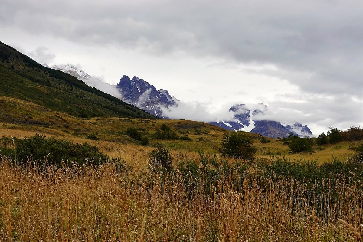
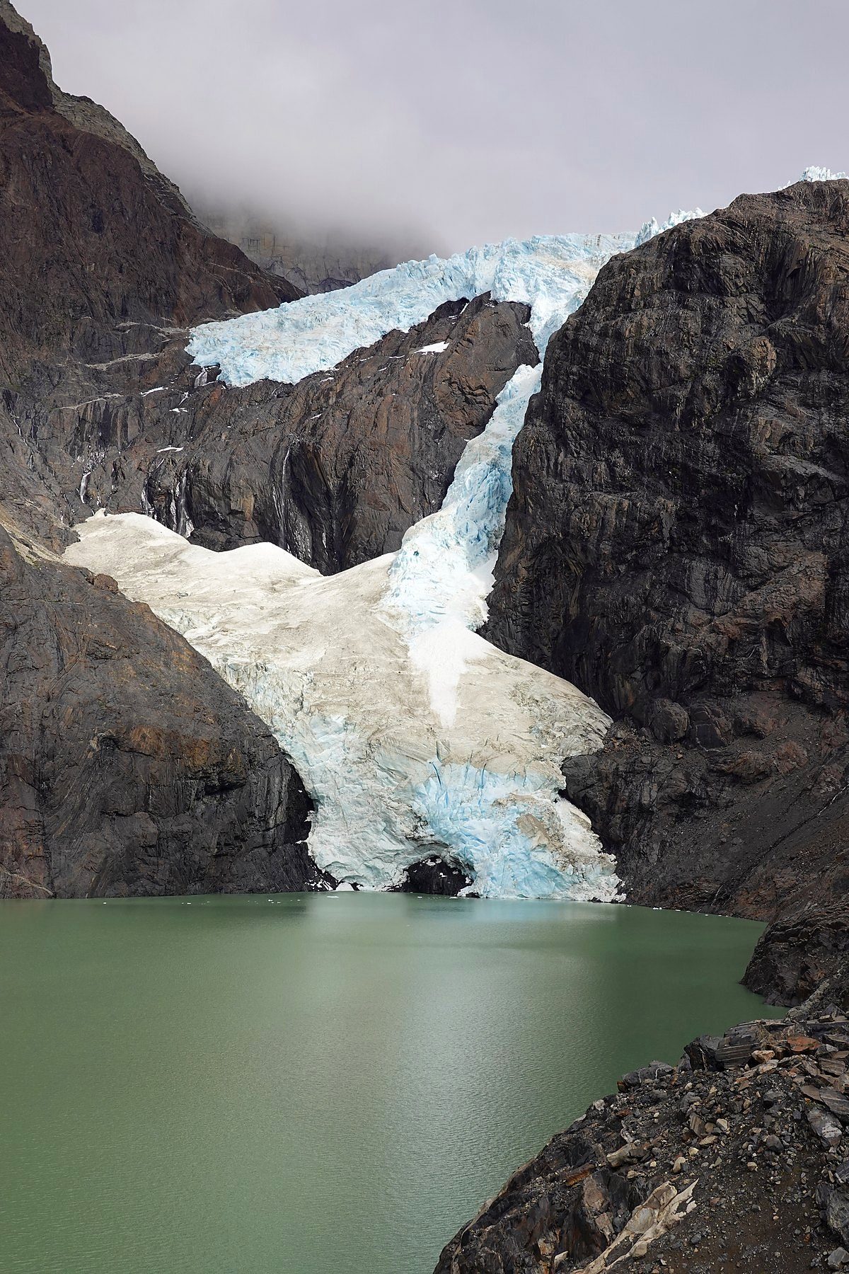
Morning at Dickson was thick fog over the forest. I packed up and started at 9:10 a.m., up the Los Perros valley through mossy lenga forest, with peaks showing above the cloud now and then. At 12:13 p.m. I was at the Los Perros glacier and its gray lake, and I reached the camp in the trees at 12:22 p.m.
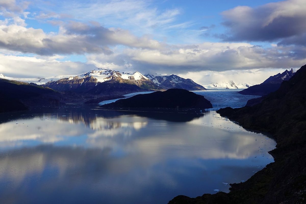
The sun came up red on the peaks above Los Perros. I left camp at 8:10 a.m. and climbed through forest, then rock and scree, to the John Gardner Pass, reaching the top at 9:35 a.m. From there you look down on the Grey glacier and out across the Southern Patagonian Ice Field. This is the view I meant: I'd never seen anything like it, and I sat there and stared for a while.
This is the 32-mile day in my film. I just let loose and went wild on that day. I was up early, with Lago Grey mirror-still at dawn, and walked out to the Grey viewpoint before setting off at about 7:45 a.m. I passed Paine Grande at 10:11 a.m. and turned up the Valle del Francés at Italiano, where hikers leave their packs: the valley viewpoint at 12:23 p.m., then on to the Mirador Británico at the top, where I stopped for half an hour, from 1:36 to 2:04 p.m., with the peaks all around the head of the valley. It was a clear, sunny day.
My last day was a half day. I left Central at 8:37 a.m. and climbed into the Ascencio valley, over the Paso del Viento and down to Chileno, where I stopped from 9:49 to 10:41 a.m. From there it's up through the forest and the boulder moraine to the lake under the three towers. I was at the Mirador Base Torres from 12:03 to 12:28 p.m. Then back the same way, a short stop at Chileno, and down to Central at 2:36 p.m.
What I took from it
If you come all the way to southern Chile, do both. The O is the W plus the back of the massif: the Paine river valley, Dickson, Los Perros and the John Gardner Pass. The pass gives you the view of the ice field and the Grey glacier. It was the first time I'd seen anything like it, and you just sit there and stare for a while.
Probably one of the easiest multi-day hikes I've done. The trail is well maintained, there are no technical scrambles, and the passes are very doable. I saw a lot of beginners and first-time trekkers, and it's probably perfect for them. The real difficulty is Patagonian weather, above all wind on the John Gardner Pass. Read Weather and safety.
The route day by day, with maps and my GPX files, is in my free guide: Torres del Paine O Circuit on Follow the Hiker.