
Hiking Trans-Catalina Trail alone
In July 2020 I hiked the Trans-Catalina Trail across Santa Catalina Island, off the coast of Southern California, in two days.
Watch it: Hiking the Trans-Catalina Trail in California
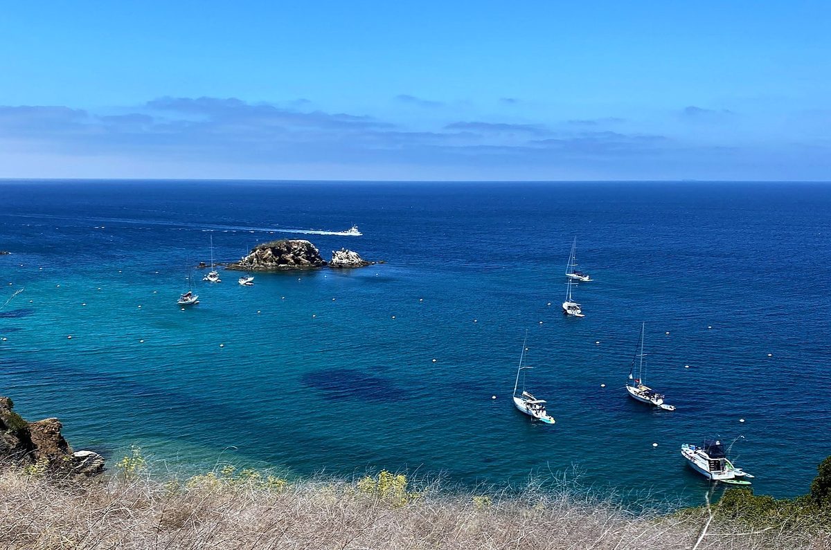
In July 2020 I hiked the Trans-Catalina Trail across Santa Catalina Island, off the coast of Southern California, in two days. I took the ferry to Avalon, walked up to Hermit Gulch, where the trail starts, and crossed the island's dry interior past Black Jack and the Airport in the Sky to a night at Little Harbor Campground, on the beach. The next day I went over the hills to Two Harbors, up the Silver Peak Trail along the island's west end, down to Parsons Landing, and back along the coast road to a night at the Banning House Lodge above Two Harbors. Two days, about 42 miles by my GPS.
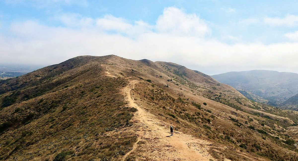
It was kind of a weird hike. It was a desert island with no running water, no rivers, no streams. It was very hot, with a lot of direct sunlight, but the sea fog would roll in over the hills every morning and sometimes in the evening. A lot of the campsites were full with car campers and bikepackers, but no one else was hiking the trail: I didn't see a single other hiker. I'm glad I did it, to say that I did it and to know what it's like.
On the trail
I came over on the morning ferry and started walking from the Avalon waterfront at 8:49. Hermit Gulch Campground, at the top of the canyon road, is the official start; from there the trail climbs out of the canyon. There were distractions everywhere on this hike: telephone poles, power lines, roads, fences, cell towers, just stuff. Maybe because there were no trees to hide it.
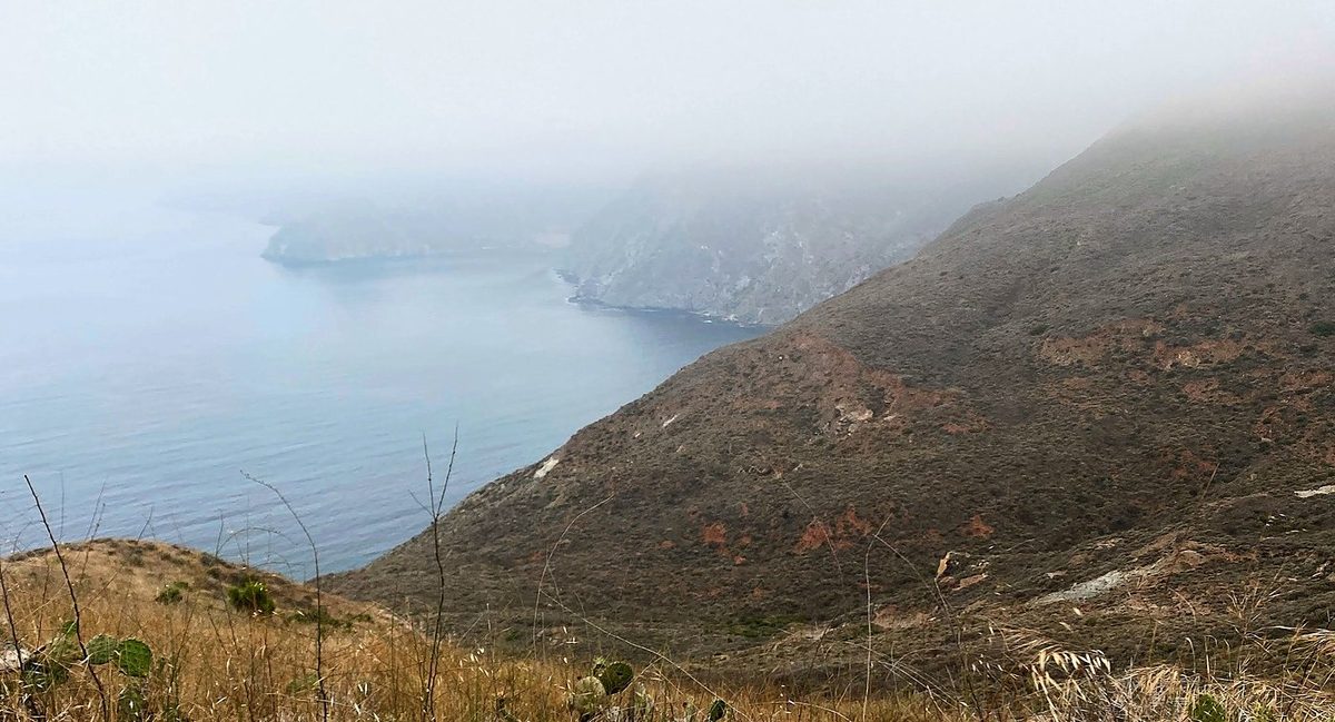
I started out of Little Harbor very early, at 6:48, and the sea fog was still rolling through, so it was very foggy up on the ridges. That area was still very beautiful and very isolated. Once again I didn't see anyone on the trail; just me out there hiking, and some deer running up the hill. Honestly, the trail after Little Harbor is much better than the first half. Things get better as you go, getting toward Two Harbors.
What I took from it
I crushed it in two days. I know a lot of people take three or four days to do it, but if you can, I think two days is the way to go. Spend some extra time in Avalon, and spend some extra time at Two Harbors. The Conservancy plans it in three to five days and calls three days very challenging.
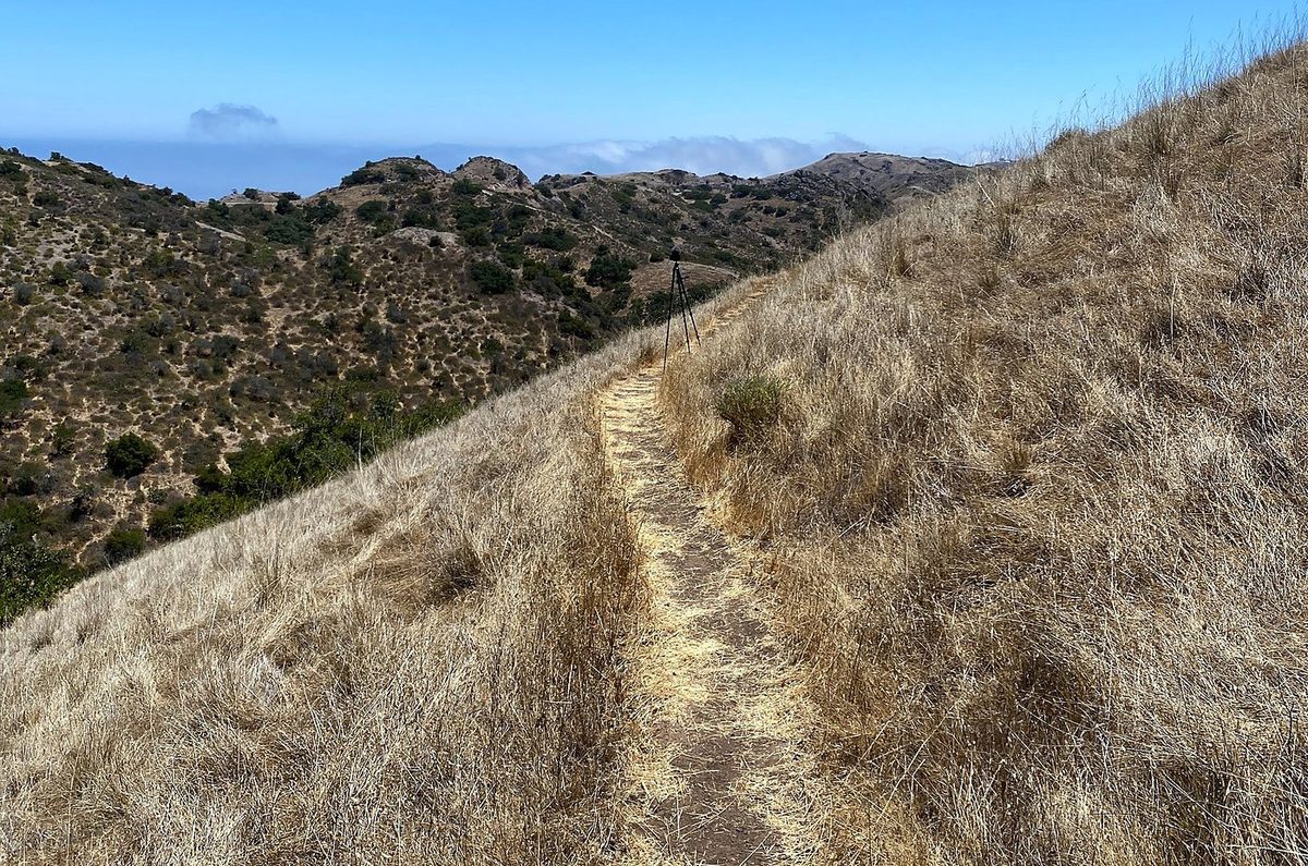
It's 42 miles and about 7,500 ft of climbing by my GPS, about 9 hours each day with my stops. In my film I called it not that difficult compared to other hikes I've done. The Conservancy warns that many people underestimate the elevation gain and loss, and there's very little shade. The trail is a mix of dirt roads and steep singletrack.
The route day by day, with maps and my GPX files, is in my free guide: Trans-Catalina Trail on Follow the Hiker.