
Hiking Taiwan and Yushan
At the end of September 2022 I hiked Yushan, Jade Mountain, the highest peak in Taiwan, with two local hikers, Curtis and Larry.
Watch it: Hiking the Highest Peak in Taiwan
At the end of September 2022 I hiked Yushan, Jade Mountain, the highest peak in Taiwan, with two local hikers, Curtis and Larry. We drove down from Taipei through the night, took the shuttle to the Tataka trailhead and hiked about five miles up to Paiyun Lodge on the first day. On the second day we left the lodge at 2:30 a.m., went past the Main Peak in the dark and on to North Peak and its weather station for sunrise, came back and summited the Main Peak, 12,966 ft (3,952 m), and then I hiked all the way back down to the trailhead the same morning. Two days, about 16.4 miles by my GPS: 5.4 on the first day and 11.0 on the second.
Taiwan had been on my bucket list for a while, and Jade Mountain was at the top of my list.
On the trail
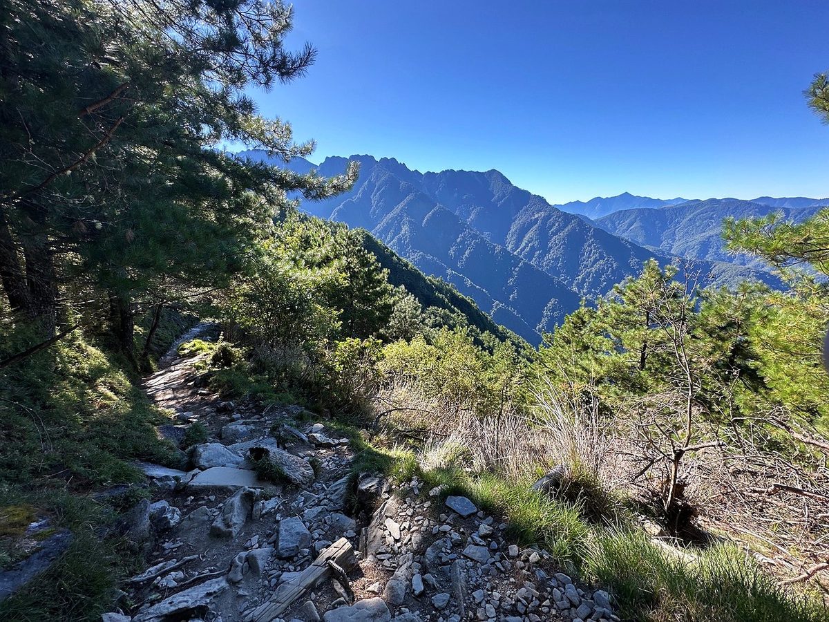
We got to the trailhead early, after the night drive and the shuttle, and I started recording on my AllTrails app at 7:51 a.m. The first day we hiked from the trailhead all the way up to the lodge where we'd be spending the night. It was about five miles, so a pretty short day. Our elevation started at about 8,500 ft and ended at about 11,000. I passed the Mengluting shelter at 8:26 and stopped for a while a little past it. At certain points I was hiking with Curtis and Larry and at others without them: I pushed forward on my own to get specific shots. I stopped at the White Wood Forest shelter at about 10:30. It was very hot midday.
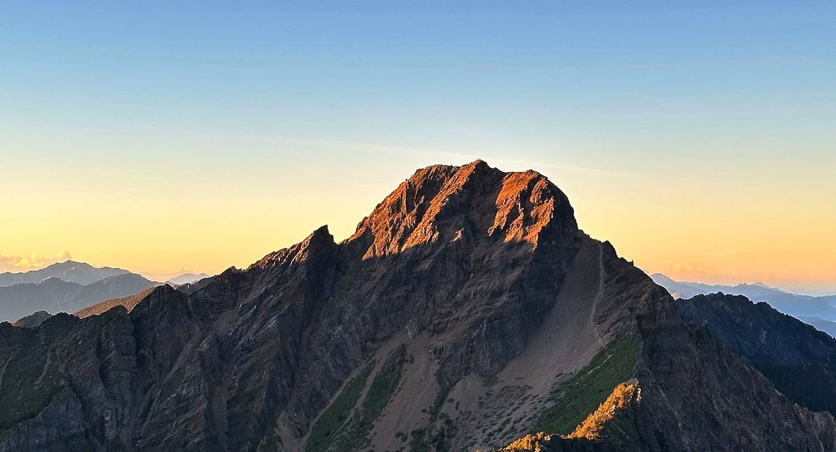
I woke up at 1:57 a.m., had breakfast in the dark, and left the lodge at 2:27 with my headlamp on. We made the ascent up past Jade Mountain: the peak is right above the lodge, but in the darkness we went past it, down and then back up to the north, to North Peak. There's a weather station up there, and we did this for sunrise because we wanted to be able to actually see Jade Mountain with the sun rising on it. I reached the junction below the Main Peak at 4:12 and North Peak at 5:23, just before sunrise. I spent about 50 minutes up there around the weather station. Cloud filled the valleys below us, and by 5:55 the sun was on the Main Peak.
What I took from it
Two, with one night at Paiyun Lodge. That's what I did, and it's the usual plan: up to the lodge on the first day, the summit for sunrise and all the way down on the second. There's also a one-day permit, but it's a very long day; see Other ways to do it. Plan a few days around it in case your lottery date or the weather doesn't work out.
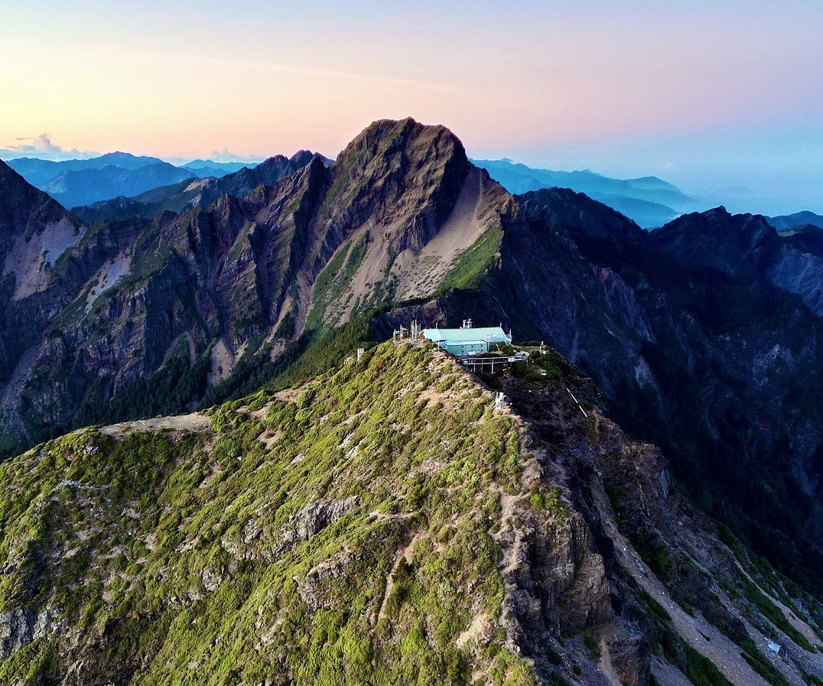
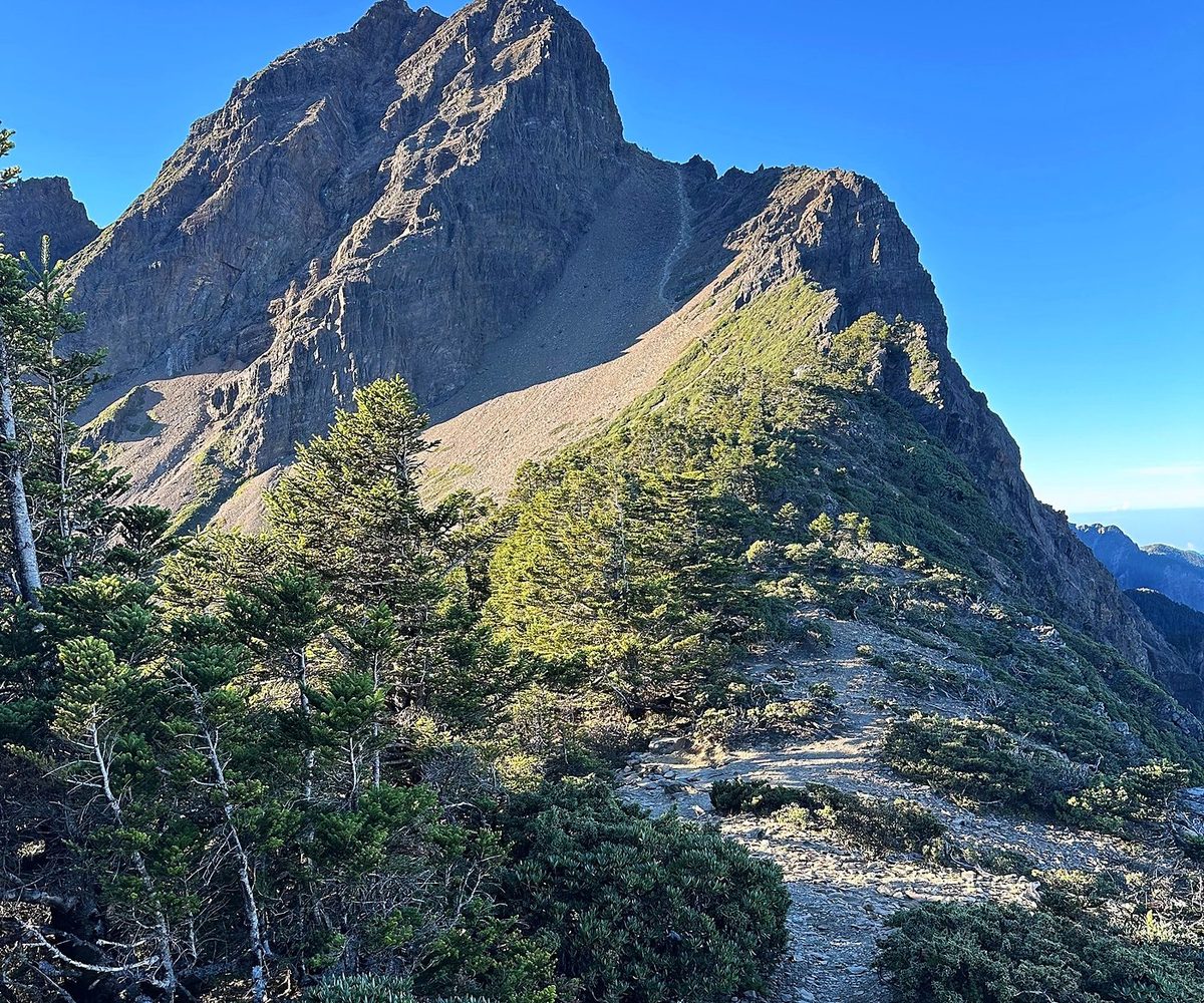
The first day is about five miles, so a pretty short day: about 3,000 ft of climbing on a good, steady trail, ending at Paiyun Lodge, 11,161 ft. The second day is the hard one: a start at 2:30 a.m., thin air above 12,000 ft, loose scree at the wind gap and a steep rock scramble with chains to the top, then over 5,800 ft down to the trailhead. With my detour to North Peak it was 11 miles. My track took 8.3 hours, about 6.1 of them moving, and I trail ran down.
The route day by day, with maps and my GPX files, is in my free guide: Taiwan and Yushan on Follow the Hiker.